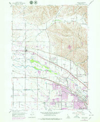
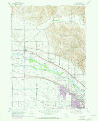
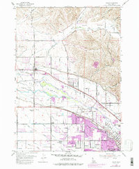
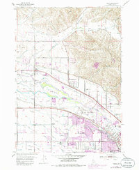
1953 Map of Eagle
USGS Topo · Published 1979About this map
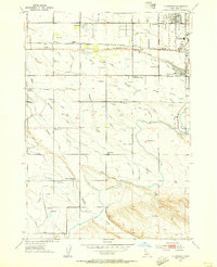
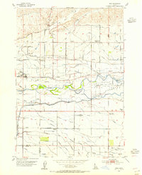
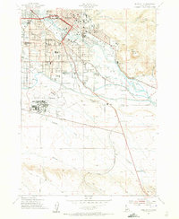
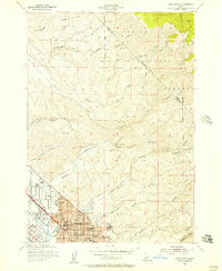
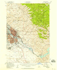
Eagle Island sits at the heart of a complex hydrological landscape where the Boise River splits and intertwines with an extensive network of irrigation infrastructure. This survey, updated with late-1970s urban revisions, documents the transition of the Ada County countryside as the communities of Eagle and Garden City began to expand. The map is particularly rich in water-management history, featuring numerous named man-made waterways like the Thurman Mill Canal, Warm Springs Canal, and the Capitol View Canal, which were essential for transforming the dry valley into productive land.
Find a feature on this map
52 named features on this map. Tap any name to fly to it.
Don’t see what you’re looking for? This feature index may not catch every label — zoom into the map to look around manually.
Map Details
Editions of this 1953 Eagle Map
5 editions found
Other maps of this area

1892 · Boise
USGS Topo · 1:125,000

1897 · Boise
USGS Topo · 1:125,000

1953 · Eagle
USGS Topo · 1:24,000
1953 · Cloverdale
USGS Topo · 1:24,000

1953 · Meridian
USGS Topo · 1:24,000
1953 · Star
USGS Topo · 1:24,000

1953 · Montour
USGS Topo · 1:62,500
1954 · Boise South
USGS Topo · 1:24,000
1954 · Boise North
USGS Topo · 1:24,000
1954 · Boise
USGS Topo · 1:62,500