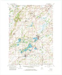
1960 Map of Eagle
USGS Topo · Published 1983About this map
The glacial topography of southeast Wisconsin is prominently displayed in this 1960 field-checked survey, dominated by the Kettle Moraine State Forest and a dense network of kettle lakes. The landscape is a complex of wetlands and water bodies, including Lake Beulah, Eagle Spring Lake, and the marshy expanses of Lower Phantom Lake near Mukwonago. Small agricultural and railroad settlements like Genesee Depot, North Prairie, and Eagle serve as focal points for the surrounding rural townships.
Find a feature on this map
94 named features on this map. Tap any name to fly to it.
Don’t see what you’re looking for? This feature index may not catch every label — zoom into the map to look around manually.
Map Details
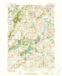
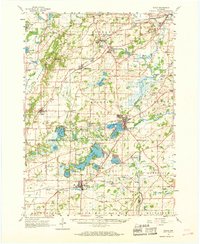
Editions of this 1960 Eagle Map
3 editions found
Other maps of this area

1891 · Muskego
USGS Topo · 1:62,500

1892 · Waukesha
USGS Topo · 1:62,500

1892 · Watertown
USGS Topo · 1:62,500

1892 · Oconomowoc
USGS Topo · 1:62,500

1892 · Whitewater
USGS Topo · 1:62,500

1892 · Eagle
USGS Topo · 1:62,500

1893 · Delavan
USGS Topo · 1:62,500

1893 · Whitewater
USGS Topo · 1:62,500

1893 · Silver Lake
USGS Topo · 1:62,500

1893 · Geneva
USGS Topo · 1:62,500