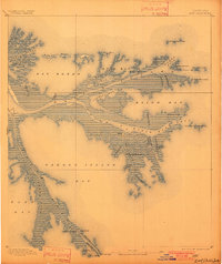
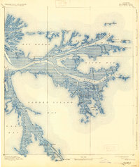
1893 Map of East Delta
USGS Topo · Published 1901About this map
Port Eads stands at the maritime threshold of the Mississippi River's mouth, anchored by the engineering of the East Jetty and West Jetty. This late nineteenth-century survey, based on work by the U.S. Coast and Geodetic Survey, reveals the complex distributary network of the delta before modern coastal erosion and sediment management reshaped the shoreline. The settlement of Balize and the Old Spanish Magazine offer a glimpse into the region's long history as a strategic navigation hub. Navigational aids like the Pass A Loutre Light and South Pass Light mark the vital corridors of South Pass and Pass A Loutre, while curious geological features such as the North Pass Mud Lumps dot the offshore waters. The landscape is a fine-grained web of channels, including Buttermilk Channel and Mississippi Bayou, defining the low-lying reaches of Garden Island Bay and Blind Bay.
Find a feature on this map
47 named features on this map. Tap any name to fly to it.
Don’t see what you’re looking for? This feature index may not catch every label — zoom into the map to look around manually.
Map Details
Editions of this 1893 East Delta Map
6 editions found
Other maps of this area

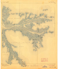
1893 · East Delta
USGS Topo · 1:62,500

1893 · Forts
USGS Topo · 1:62,500

1893 · West Delta
USGS Topo · 1:62,500

1935 · Garden Island Pass
USGS Topo · 1:31,680

1935 · South Pass
USGS Topo · 1:31,680

1946 · Mudpan Bayou
USGS Topo · 1:31,680

1947 · Garden Island Pass
USGS Topo · 1:31,680

1947 · Pass A Loutre West
USGS Topo · 1:31,680

1947 · Venice
USGS Topo · 1:31,680

1947 · Southwest Pass
USGS Topo · 1:31,680