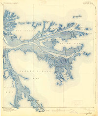
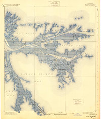
1893 Map of East Delta
USGS Topo · Published 1931About this map
Balize and Port Eads stand as the primary outposts at the terminus of the Mississippi River, where the vast delta fractures into its final passes. This 1891 survey, based on U.S. Coast and Geodetic Survey data, captures the complex hydrology of the mouth before major 20th-century alterations. Landmarks such as the Old Spanish Magazine and the Revenue Station mark the historical government and military presence required to manage this strategic maritime gateway. Navigation is the central theme of the landscape, defined by the East Jetty and West Jetty systems designed to maintain channel depth, alongside a network of beacons including the South Pass Light and Pass A Loutre Light. Unusual geological formations known as North Mud Lumps and South Mud Lumps dot the outer edges of the passes, while internal waterways like Buttermilk Channel and Woodward Canal reveal the intricate local efforts to navigate the marshy interior of Plaquemines Parish.
Find a feature on this map
48 named features on this map. Tap any name to fly to it.
Don’t see what you’re looking for? This feature index may not catch every label — zoom into the map to look around manually.
Map Details
Editions of this 1893 East Delta Map
6 editions found
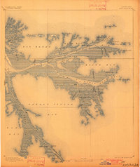
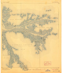
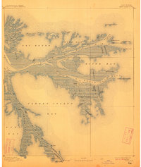
Other maps of this area

1893 · East Delta
USGS Topo · 1:62,500

1893 · Forts
USGS Topo · 1:62,500

1893 · West Delta
USGS Topo · 1:62,500

1935 · Garden Island Pass
USGS Topo · 1:31,680

1935 · South Pass
USGS Topo · 1:31,680

1946 · Mudpan Bayou
USGS Topo · 1:31,680

1947 · Garden Island Pass
USGS Topo · 1:31,680

1947 · Pass A Loutre West
USGS Topo · 1:31,680

1947 · Venice
USGS Topo · 1:31,680

1947 · Southwest Pass
USGS Topo · 1:31,680