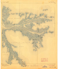
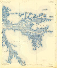
1893 Map of East Delta
USGS Topo · Published 1906About this map
The low-lying marshlands of the Mississippi River delta are captured here at a critical moment in the late 19th century, during a period of significant maritime engineering and shifting geomorphology. The river branches out into the Gulf through several major distributaries, including South Pass, North Pass, and South East Pass, which are flanked by unique geological features like the North Pass Mud Lumps. Maritime activity is evidenced by navigation aids and administrative outposts such as the Pass A Loutre Light and the Revenue Station. Historically significant structures appear near the water's edge, including the Old Spanish Magazine on Balize Bayou, hinting at the area's colonial past. To the south, Port Eads stands at the end of the channel, secured by the East Jetty and West Jetty infrastructure designed to maintain deep-water access for commerce.
Find a feature on this map
46 named features on this map. Tap any name to fly to it.
Don’t see what you’re looking for? This feature index may not catch every label — zoom into the map to look around manually.
Map Details
Editions of this 1893 East Delta Map
6 editions found
Other maps of this area

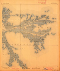
1893 · East Delta
USGS Topo · 1:62,500

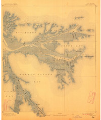
1893 · Forts
USGS Topo · 1:62,500

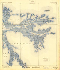
1893 · West Delta
USGS Topo · 1:62,500

1935 · Garden Island Pass
USGS Topo · 1:31,680

1935 · South Pass
USGS Topo · 1:31,680

1946 · Mudpan Bayou
USGS Topo · 1:31,680

1947 · Garden Island Pass
USGS Topo · 1:31,680

1947 · Pass A Loutre West
USGS Topo · 1:31,680

1947 · Venice
USGS Topo · 1:31,680

1947 · Southwest Pass
USGS Topo · 1:31,680