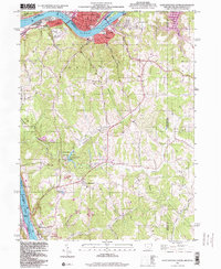
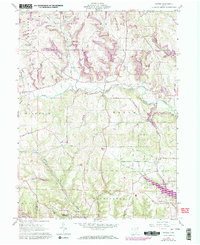
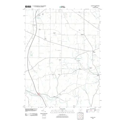
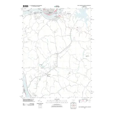
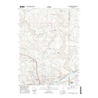
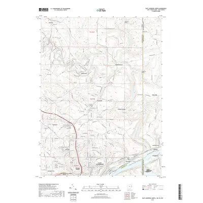
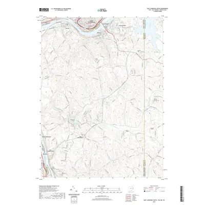
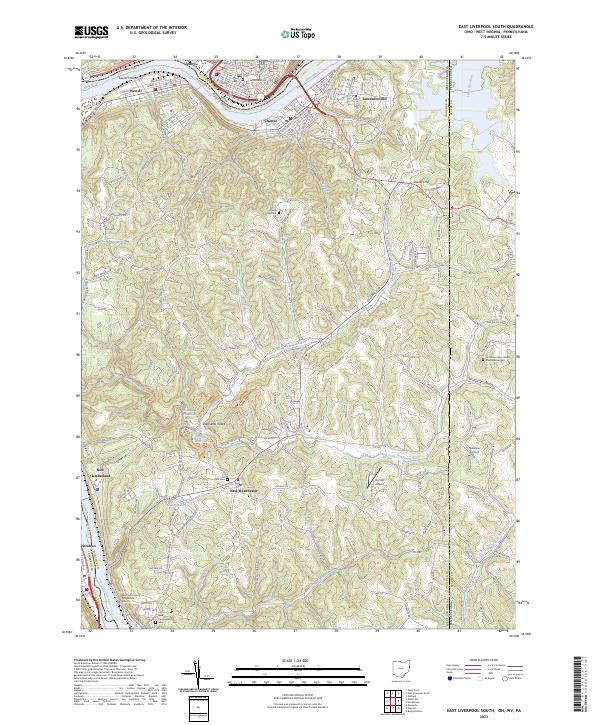
1996 Map of East Liverpool South
USGS Topo · Published 1999About this map
Industrial riverfronts and rural West Virginia uplands meet along the winding Ohio River in the late twentieth century. This survey documents the concentrated settlement of Newell and Chester across from East Liverpool, where local landmarks like Jefferson Sch and McKinley Sch anchor the communities. To the south, the landscape shifts toward the expansive Tomlinson Run State Park, centered on Tomlinson Run Lake and the various branches of the Tomlinson Run watershed.
Find a feature on this map
49 named features on this map. Tap any name to fly to it.
Don’t see what you’re looking for? This feature index may not catch every label — zoom into the map to look around manually.
Map Details
Editions of this 1996 East Liverpool South Map
This is the sole edition of this map. No revisions or reprints were ever made.
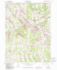
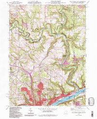
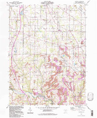
Historical Maps of East Liverpool Through Time
33 maps found
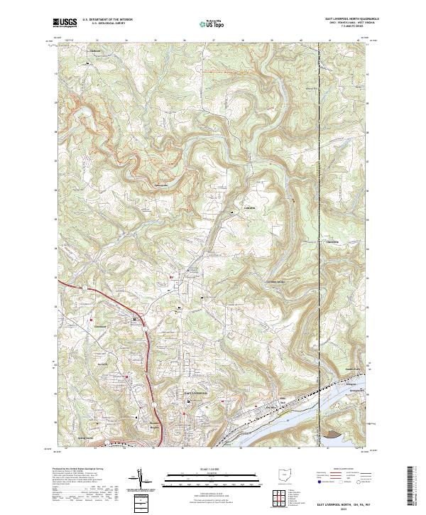
1960 East Liverpool North
Columbiana County, OH
1960 East Liverpool South
Columbiana County, OH
1960 Elkton
Columbiana County, OH
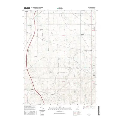
1960 Gavers
Columbiana County, OH
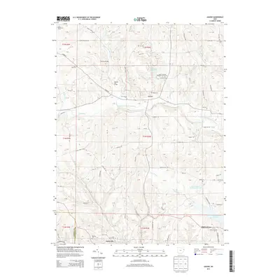
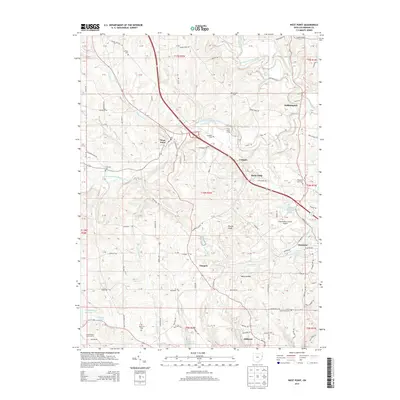
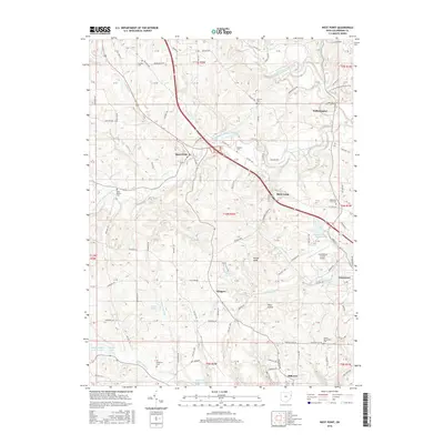
1960 West Point
Columbiana County, OH
1994 East Liverpool North
Columbiana County, OH
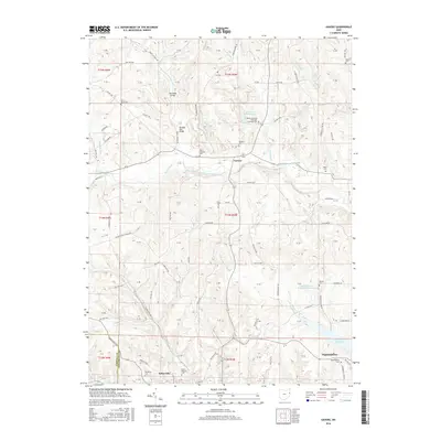
1994 Elkton
Columbiana County, OH
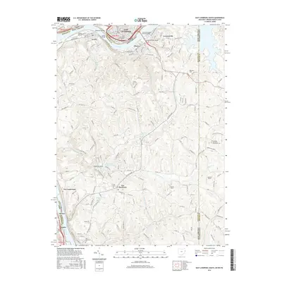
1996 East Liverpool South
Columbiana County, OH
2010 Elkton
Columbiana County, OH
2010 Gavers
Columbiana County, OH
2010 West Point
Columbiana County, OH
2011 East Liverpool North
Columbiana County, OH
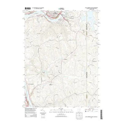
2011 East Liverpool South
Columbiana County, OH
2013 East Liverpool North
Columbiana County, OH
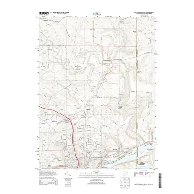
2013 East Liverpool South
Columbiana County, OH
2013 Elkton
Columbiana County, OH
2013 Gavers
Columbiana County, OH
2013 West Point
Columbiana County, OH
2016 East Liverpool North
Columbiana County, OH
2016 East Liverpool South
Columbiana County, OH
2016 Elkton
Columbiana County, OH
2016 Gavers
Columbiana County, OH
2016 West Point
Columbiana County, OH
2019 East Liverpool North
Columbiana County, OH
2019 East Liverpool South
Columbiana County, OH
2019 Elkton
Columbiana County, OH
2019 Gavers
Columbiana County, OH

2019 West Point
Columbiana County, OH
2023 East Liverpool North
Columbiana County, OH
2023 East Liverpool South
Columbiana County, OH
2023 Elkton
Columbiana County, OH
2023 Gavers
Columbiana County, OH
2023 West Point
Columbiana County, OH