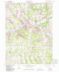
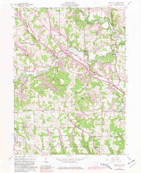
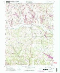
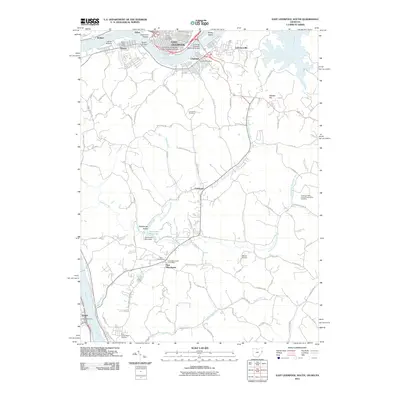
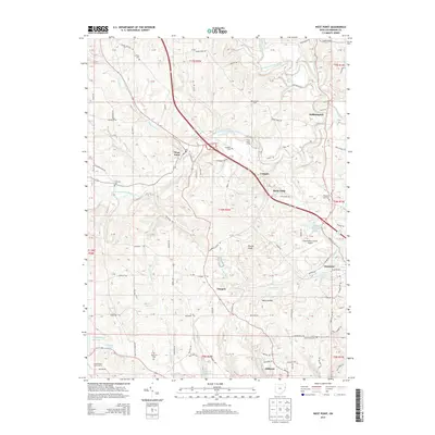
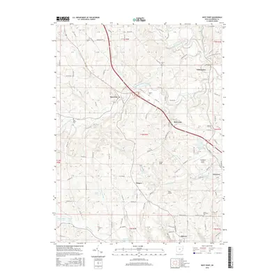
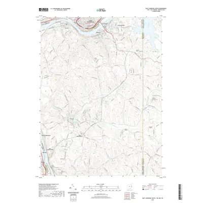
1960 Map of West Point
USGS Topo · Published 1985About this map
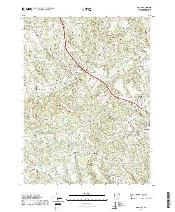
Middle Fork Little Beaver Creek and its many tributaries carve through the rolling terrain of Columbiana County, defining a landscape marked by both natural beauty and industrial change. By the mid-20th century, extensive strip mining operations had begun to reshape the hills around West Point and Rock Camp, contrasting with the preserved lands of Beaver Creek State Park. Notable local landmarks include the Lookout Tower near Hammond School Road and the Columbiana County Airport in the east.
Find a feature on this map
59 named features on this map. Tap any name to fly to it.
Don’t see what you’re looking for? This feature index may not catch every label — zoom into the map to look around manually.
Map Details
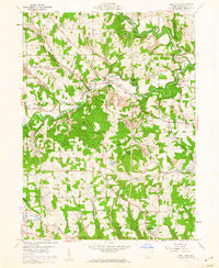
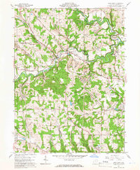
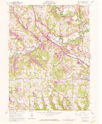
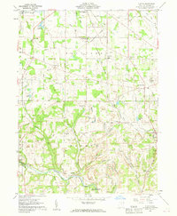
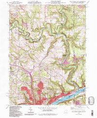
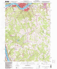
Editions of this 1960 West Point Map
5 editions found
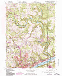
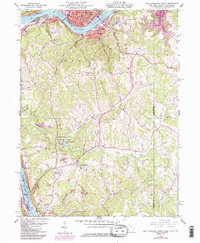
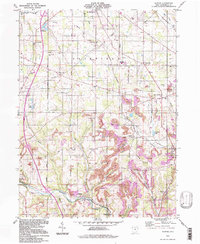
Historical Maps of Hillcrest Through Time
33 maps found
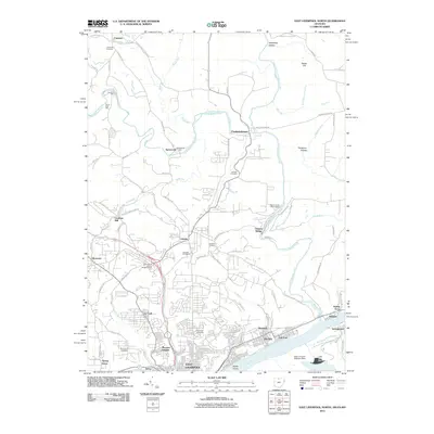
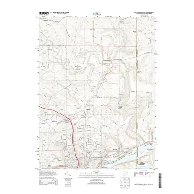
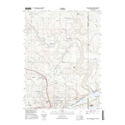
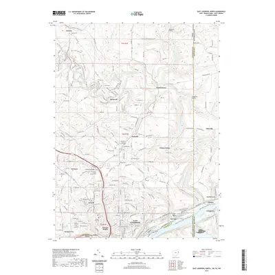
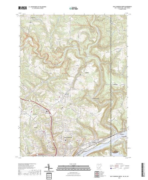
1960 East Liverpool North
Columbiana County, OH
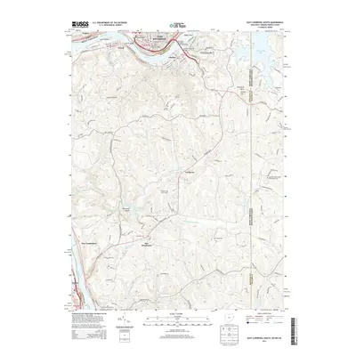
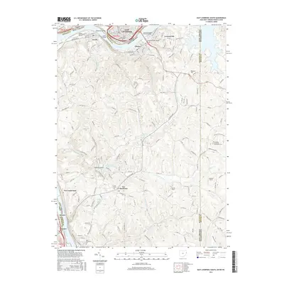
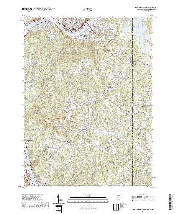
1960 East Liverpool South
Columbiana County, OH
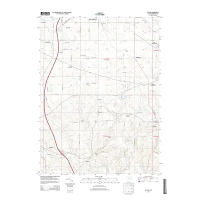
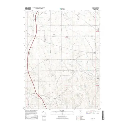
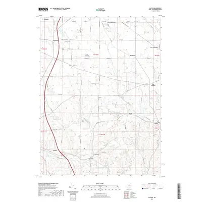
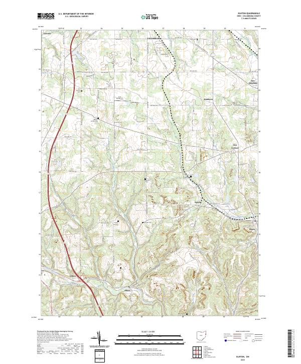
1960 Elkton
Columbiana County, OH
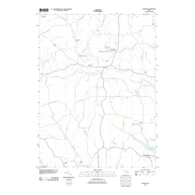
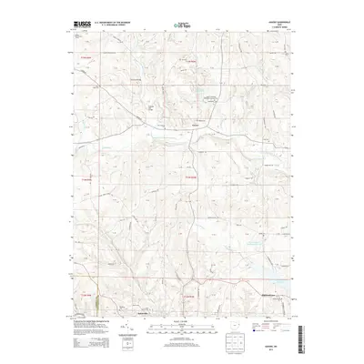
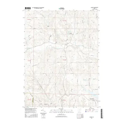
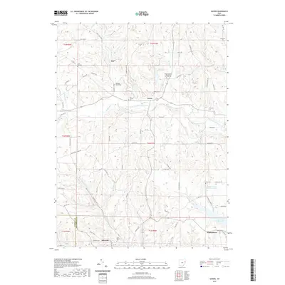
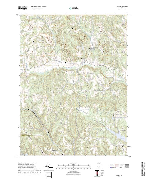
1960 Gavers
Columbiana County, OH
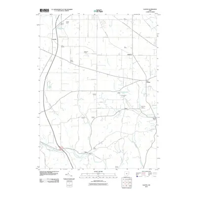
1960 West Point
Columbiana County, OH
1994 East Liverpool North
Columbiana County, OH
1994 Elkton
Columbiana County, OH
1996 East Liverpool South
Columbiana County, OH
2010 Elkton
Columbiana County, OH
2010 Gavers
Columbiana County, OH
2010 West Point
Columbiana County, OH
2011 East Liverpool North
Columbiana County, OH
2011 East Liverpool South
Columbiana County, OH
2013 East Liverpool North
Columbiana County, OH
2013 East Liverpool South
Columbiana County, OH
2013 Elkton
Columbiana County, OH
2013 Gavers
Columbiana County, OH
2013 West Point
Columbiana County, OH
2016 East Liverpool North
Columbiana County, OH
2016 East Liverpool South
Columbiana County, OH
2016 Elkton
Columbiana County, OH
2016 Gavers
Columbiana County, OH
2016 West Point
Columbiana County, OH
2019 East Liverpool North
Columbiana County, OH
2019 East Liverpool South
Columbiana County, OH
2019 Elkton
Columbiana County, OH
2019 Gavers
Columbiana County, OH

2019 West Point
Columbiana County, OH
2023 East Liverpool North
Columbiana County, OH
2023 East Liverpool South
Columbiana County, OH
2023 Elkton
Columbiana County, OH
2023 Gavers
Columbiana County, OH
2023 West Point
Columbiana County, OH