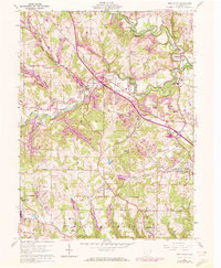
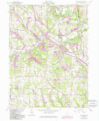
1960 Map of West Point
USGS Topo · Published 1972About this map
West Point and its neighboring rural townships in Columbiana County are revealed in this 1960s-era survey, which captures the region's intersection of traditional farming, public forestry, and emerging infrastructure. The landscape is defined by the three branches of the Little Beaver Creek, including the Middle Fork and West Fork. A distinctive historical marker is the Geographers Line, a remnant of the early American rectangular survey system that bisects the southern portion of the map.
Find a feature on this map
49 named features on this map. Tap any name to fly to it.
Don’t see what you’re looking for? This feature index may not catch every label — zoom into the map to look around manually.
Map Details
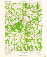
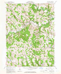
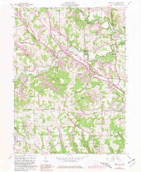
Editions of this 1960 West Point Map
5 editions found
Other maps of this area

1904 · Wellsville
USGS Topo · 1:62,500

1905 · Salineville
USGS Topo · 1:62,500

1907 · Columbiana
USGS Topo · 1:62,500

1909 · Lisbon
USGS Topo · 1:62,500

1909 · Columbiana
USGS Topo · 1:62,500

1937 · Wellsville
USGS Topo · 1:62,500

1944 · Wellsville
USGS Topo · 1:62,500

1951 · Canton
USGS Topo · 1:250,000

1953 · Canton
USGS Topo · 1:250,000

1957 · Canton
USGS Topo · 1:250,000