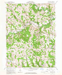
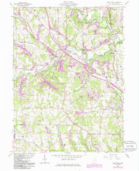
1960 Map of West Point
USGS Topo · Published 1966About this map
Little Beaver Creek and its complex tributaries, including the Middle Fork and West Fork, carve a path through the townships of Elk and Madison. This 1960s landscape is defined by the Geographers Line, a significant surveying boundary that separates the Congress Lands to the north from the Old Seven Ranges to the south. The area is marked by a deep history of extraction, shown through numerous Strip Mines and the Sina Mine dotting the hillsides near Williamsport.
Find a feature on this map
59 named features on this map. Tap any name to fly to it.
Don’t see what you’re looking for? This feature index may not catch every label — zoom into the map to look around manually.
Map Details
Editions of this 1960 West Point Map
5 editions found
Other maps of this area

1904 · Wellsville
USGS Topo · 1:62,500

1905 · Salineville
USGS Topo · 1:62,500

1907 · Columbiana
USGS Topo · 1:62,500

1909 · Lisbon
USGS Topo · 1:62,500

1909 · Columbiana
USGS Topo · 1:62,500

1937 · Wellsville
USGS Topo · 1:62,500

1944 · Wellsville
USGS Topo · 1:62,500

1951 · Canton
USGS Topo · 1:250,000

1953 · Canton
USGS Topo · 1:250,000

1957 · Canton
USGS Topo · 1:250,000