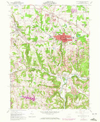
1960 Map of East Palestine
USGS Topo · Published 1972About this map
East Palestine serves as the primary hub of this eastern Ohio landscape, shown at a time of transition between traditional agriculture and industrial excavation. The 1971 photorevisions highlight the expansion of Strip Mines that carve through the hillsides south and east of the city, illustrating the region's mid-century reliance on coal. This heavy industrial footprint contrasts with the older settlement patterns of Unity and New Waterford, where legacy sites like the Brick Ch and New Waterford Cem anchor the community's history. Transportation networks define the area's movement, from the prominent Penn Central rail lines to the Youngstown and Southern tracks winding near Negley. Waterways such as the North Fork Little Beaver Creek and Leslie Run provide natural drainage through the valleys, while family landmarks like the Mason-Rich Cem offer specific touchpoints for local genealogists.
Find a feature on this map
53 named features on this map. Tap any name to fly to it.
Don’t see what you’re looking for? This feature index may not catch every label — zoom into the map to look around manually.
Map Details
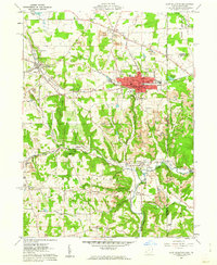
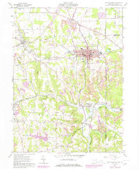
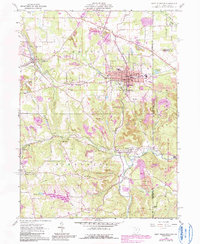
Editions of this 1960 East Palestine Map
4 editions found
Other maps of this area

1901 · Beaver
USGS Topo · 1:62,500

1902 · New Castle
USGS Topo · 1:62,500

1904 · Newcastle
USGS Topo · 1:62,500

1904 · Wellsville
USGS Topo · 1:62,500

1904 · Beaver
USGS Topo · 1:62,500

1907 · Columbiana
USGS Topo · 1:62,500

1909 · Columbiana
USGS Topo · 1:62,500

1937 · Wellsville
USGS Topo · 1:62,500

1944 · Wellsville
USGS Topo · 1:62,500

1951 · Canton
USGS Topo · 1:250,000