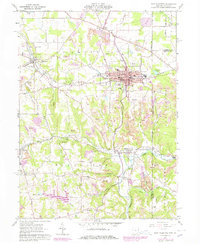
1960 Map of East Palestine
USGS Topo · Published 1978About this map
The industrial and rural landscape of Columbiana County comes into sharp focus through the extensive Strip Mines that dominate the terrain surrounding East Palestine. This 1960s era, photorevised in the 1970s, reveals a complex network of resource extraction and transport. The Penn Central and Youngstown and Southern railroads bisect the territory, facilitating the movement of coal and goods through communities like Negley and New Waterford.
Find a feature on this map
51 named features on this map. Tap any name to fly to it.
Don’t see what you’re looking for? This feature index may not catch every label — zoom into the map to look around manually.
Map Details
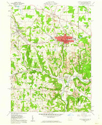
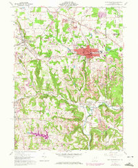
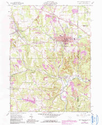
Editions of this 1960 East Palestine Map
4 editions found
Other maps of this area

1901 · Beaver
USGS Topo · 1:62,500

1902 · New Castle
USGS Topo · 1:62,500

1904 · Newcastle
USGS Topo · 1:62,500

1904 · Wellsville
USGS Topo · 1:62,500

1904 · Beaver
USGS Topo · 1:62,500

1907 · Columbiana
USGS Topo · 1:62,500

1909 · Columbiana
USGS Topo · 1:62,500

1937 · Wellsville
USGS Topo · 1:62,500

1944 · Wellsville
USGS Topo · 1:62,500

1951 · Canton
USGS Topo · 1:250,000