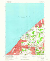
1963 Map of Eastlake
USGS Topo · Published 1965About this map
Lake Erie defines the northern edge of this suburban and industrial corridor, where post-war growth is evident in the dense residential street grids of Eastlake, Willowick, and Mentor-on-the-Lake. The Chagrin River carves through the center, winding past the Gravel Pit and under the heavy rail infrastructure of the Nickel Plate Road and New York Central.
Find a feature on this map
91 named features on this map. Tap any name to fly to it.
Don’t see what you’re looking for? This feature index may not catch every label — zoom into the map to look around manually.
Map Details
Editions of this 1963 Eastlake Map
4 editions found
Other maps of this area

1901 · Euclid
USGS Topo · 1:62,500

1903 · Euclid
USGS Topo · 1:62,500

1905 · Mentor
USGS Topo · 1:62,500

1907 · Mentor
USGS Topo · 1:62,500

1950 · Cleveland
USGS Topo · 1:250,000

1953 · East Cleveland
USGS Topo · 1:24,000
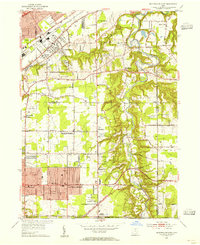
1953 · Mayfield Heights
USGS Topo · 1:24,000

1953 · Chesterland
USGS Topo · 1:24,000

1953 · Mentor
USGS Topo · 1:24,000
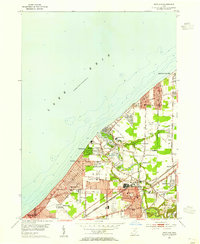
1953 · Eastlake
USGS Topo · 1:24,000