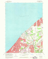
1963 Map of Eastlake
USGS Topo · Published 1971About this map
The Chagrin River flows toward Lake Erie through a landscape defined by rapid mid-century suburban expansion and industrial infrastructure. This 1963 revision documents the established residential corridors of Eastlake, Willowick, and Willoughby, where dense street grids are punctuated by numerous educational and religious sites such as St Mary Magdalene Sch and Trinity Ch. The map highlights the area's transport and utility backbone, including the Penn Central and Norfolk and Western railroads, a prominent lakeside Powerplant with associated Tailings, and the sprawling Lost Nation Airport. Recreation and open space appear in the form of several golf courses, like the Lost Nation Country Club, while the presence of the Lincoln Sch Cem and the Gravel Pit along the river banks provide specific points of interest for local historians and genealogists studying the evolution of Lake County's shoreline communities.
Find a feature on this map
65 named features on this map. Tap any name to fly to it.
Don’t see what you’re looking for? This feature index may not catch every label — zoom into the map to look around manually.
Map Details
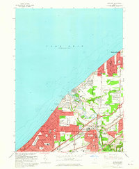
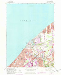
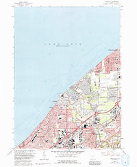
Editions of this 1963 Eastlake Map
4 editions found
Other maps of this area

1901 · Euclid
USGS Topo · 1:62,500

1903 · Euclid
USGS Topo · 1:62,500

1905 · Mentor
USGS Topo · 1:62,500

1907 · Mentor
USGS Topo · 1:62,500

1950 · Cleveland
USGS Topo · 1:250,000

1953 · East Cleveland
USGS Topo · 1:24,000
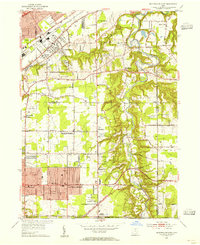
1953 · Mayfield Heights
USGS Topo · 1:24,000

1953 · Chesterland
USGS Topo · 1:24,000

1953 · Mentor
USGS Topo · 1:24,000
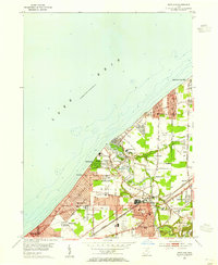
1953 · Eastlake
USGS Topo · 1:24,000