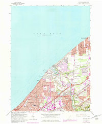
1963 Map of Eastlake
USGS Topo · Published 1979About this map
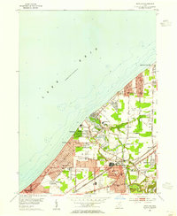
The industrial and residential growth of Ohio’s Lake Erie shoreline is well-documented in this post-war survey. Eastlake and Willoughby serve as central hubs, where the Chagrin River meets the lake near a large powerplant and industrial complex including a conveyor and tailings site. The map captures a transitional landscape where established lakeside communities like Mentor-on-the-Lake and Timberlake sit adjacent to emerging infrastructure. Aviation and recreation play significant roles in the local geography, evidenced by the Lost Nation Airport and several prominent golf courses like Tam-A-Rac Country Club. Regional connectivity is defined by the heavy rail lines of Conrail and the Norfolk and Western, which slice through the dense network of schools such as North High Sch and Washington Sch.
Find a feature on this map
65 named features on this map. Tap any name to fly to it.
Don’t see what you’re looking for? This feature index may not catch every label — zoom into the map to look around manually.
Map Details
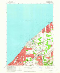
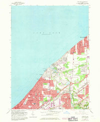
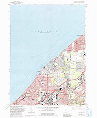
Editions of this 1963 Eastlake Map
4 editions found
Other maps of this area

1901 · Euclid
USGS Topo · 1:62,500

1903 · Euclid
USGS Topo · 1:62,500

1905 · Mentor
USGS Topo · 1:62,500

1907 · Mentor
USGS Topo · 1:62,500

1950 · Cleveland
USGS Topo · 1:250,000

1953 · East Cleveland
USGS Topo · 1:24,000
1953 · Mayfield Heights
USGS Topo · 1:24,000

1953 · Chesterland
USGS Topo · 1:24,000

1953 · Mentor
USGS Topo · 1:24,000
1953 · Eastlake
USGS Topo · 1:24,000