
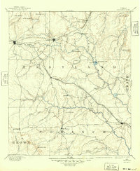
1894 Map of Eastland
USGS Topo · Published 1894About this map
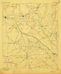
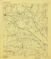
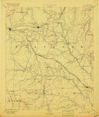
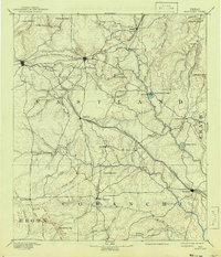
Eastland serves as the focal point of this late 19th-century survey, situated at the intersection of the Texas and Pacific Railroad and regional wagon roads. The landscape is defined by a dense network of watercourses, including the various forks of the Leon River and the southern headwaters of South Palo Pinto Creek. The arrival of the railroad transformed this cattle-country terrain into a series of growing rail stops, with Cisco emerging as a major western junction.
Find a feature on this map
52 named features on this map. Tap any name to fly to it.
Don’t see what you’re looking for? This feature index may not catch every label — zoom into the map to look around manually.
Map Details
Editions of this 1894 Eastland Map
6 editions found
Other maps of this area

1887 · Coleman
USGS Topo · 1:125,000

1888 · Hamilton
USGS Topo · 1:125,000

1889 · Brownwood
USGS Topo · 1:125,000

1889 · Coleman
USGS Topo · 1:125,000

1890 · Stephenville
USGS Topo · 1:125,000

1890 · Breckenridge
USGS Topo · 1:125,000

1891 · Palo Pinto
USGS Topo · 1:125,000

1892 · Albany
USGS Topo · 1:125,000

1893 · Albany
USGS Topo · 1:125,000

1894 · Hamilton
USGS Topo · 1:125,000