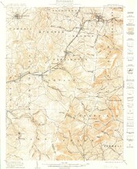
1904 Map of Ebensburg
USGS Topo · Published 1905About this map
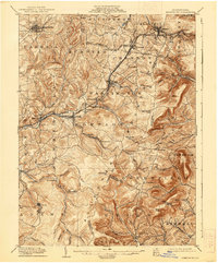
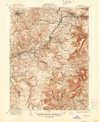
Ebensburg and the surrounding high country of the Allegheny front define this early twentieth-century landscape, where the Pennsylvania railroad network navigates steep gaps and summits. The map illustrates a dense industrial and transit corridor through the mountains, featuring the P. R. R. (Pittsburg Division) and the P. R. R. (Cresson Branch). Small company towns and mining settlements like Beaverdale, Lloydell, and Lilly are scattered among the ridges, while the Little Conemaugh River and Bens Creek provide the primary drainage. Notable high points such as Blue Knob and Red Cap Hill overlook numerous gaps, including Adams Gap and Bobs Creek Gap, which dictate the paths of early roads and rail lines. This survey captures the region just as coal and rail reached their operational peak, documented by the topographical work of Frank Sutton and R. D. Cummin.
Find a feature on this map
89 named features on this map. Tap any name to fly to it.
Don’t see what you’re looking for? This feature index may not catch every label — zoom into the map to look around manually.
Map Details
Editions of this 1904 Ebensburg Map
7 editions found
Other maps of this area

1900 · Everett
USGS Topo · 1:62,500

1902 · Everett
USGS Topo · 1:62,500

1902 · Ebensburg
USGS Topo · 1:62,500

1902 · Patton
USGS Topo · 1:62,500

1902 · Barnesboro
USGS Topo · 1:62,500

1902 · Hollidaysburg
USGS Topo · 1:62,500

1903 · Hollidaysburg
USGS Topo · 1:62,500

1904 · Barnesboro
USGS Topo · 1:62,500

1904 · Patton
USGS Topo · 1:62,500

1904 · Ebensburg
USGS Topo · 1:62,500