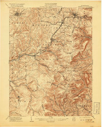
1904 Map of Ebensburg
USGS Topo · Published 1918About this map
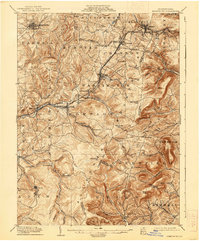
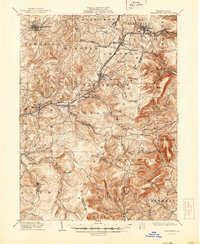
The Pennsylvania R R dominates this early twentieth-century landscape, threading through the high gaps of the Allegheny Front. The map details the complex rail engineering required to navigate the mountain grades, including the Pittsburgh Division serving key settlements like Cresson and Gallitzin. This infrastructure supported a network of burgeoning coal and industrial towns such as Portage, Lilly, and Llanfair.
Find a feature on this map
89 named features on this map. Tap any name to fly to it.
Don’t see what you’re looking for? This feature index may not catch every label — zoom into the map to look around manually.
Map Details
Editions of this 1904 Ebensburg Map
7 editions found
Other maps of this area

1900 · Everett
USGS Topo · 1:62,500

1902 · Everett
USGS Topo · 1:62,500

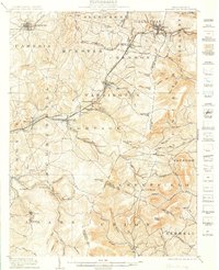
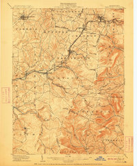
1902 · Ebensburg
USGS Topo · 1:62,500

1902 · Patton
USGS Topo · 1:62,500

1902 · Barnesboro
USGS Topo · 1:62,500

1902 · Hollidaysburg
USGS Topo · 1:62,500

1903 · Hollidaysburg
USGS Topo · 1:62,500

1904 · Barnesboro
USGS Topo · 1:62,500

1904 · Patton
USGS Topo · 1:62,500

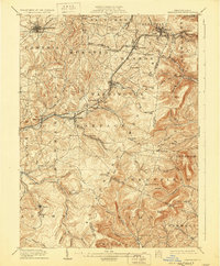
1904 · Ebensburg
USGS Topo · 1:62,500