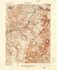
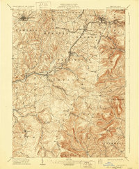
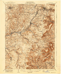
1904 Map of Ebensburg
USGS Topo · Published 1944About this map
The Allegheny Mountains define the topography of this region at the start of the twentieth century, where the industrial expansion of central Pennsylvania is written into the landscape. The Pittsburgh Division of the Pennsylvania Railroad carves a critical path through the high terrain, cresting at Summit and Gallitzin via engineering landmarks like Muleshoe. These rail lines supported the growth of numerous coal and industrial settlements such as Puritan, Lilly, and Sonman.
Find a feature on this map
77 named features on this map. Tap any name to fly to it.
Don’t see what you’re looking for? This feature index may not catch every label — zoom into the map to look around manually.
Map Details
Editions of this 1904 Ebensburg Map
7 editions found
Other maps of this area

1900 · Everett
USGS Topo · 1:62,500

1902 · Everett
USGS Topo · 1:62,500

1902 · Ebensburg
USGS Topo · 1:62,500

1902 · Patton
USGS Topo · 1:62,500

1902 · Barnesboro
USGS Topo · 1:62,500

1902 · Hollidaysburg
USGS Topo · 1:62,500

1903 · Hollidaysburg
USGS Topo · 1:62,500

1904 · Barnesboro
USGS Topo · 1:62,500

1904 · Patton
USGS Topo · 1:62,500

1904 · Ebensburg
USGS Topo · 1:62,500