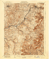
1904 Map of Ebensburg
USGS Topo · Published 1938About this map
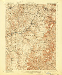
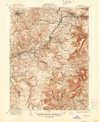
Ebensburg sits as a primary anchor in this early 20th-century survey of the high mountain terrain where the Pennsylvania railroad system crosses the continental divide. The landscape is defined by the heavy infrastructure of the Pittsburgh Division, which winds through the Allegheny Mountains via tunnels at Gallitzin and steep grades at Allegrippus. This rail-dependent economy is evident in the cluster of company towns and industrial settlements such as Portage, Lilly, and Cresson.
Find a feature on this map
90 named features on this map. Tap any name to fly to it.
Don’t see what you’re looking for? This feature index may not catch every label — zoom into the map to look around manually.
Map Details
Editions of this 1904 Ebensburg Map
7 editions found
Other maps of this area

1900 · Everett
USGS Topo · 1:62,500

1902 · Everett
USGS Topo · 1:62,500

1902 · Ebensburg
USGS Topo · 1:62,500

1902 · Patton
USGS Topo · 1:62,500

1902 · Barnesboro
USGS Topo · 1:62,500

1902 · Hollidaysburg
USGS Topo · 1:62,500

1903 · Hollidaysburg
USGS Topo · 1:62,500

1904 · Barnesboro
USGS Topo · 1:62,500

1904 · Patton
USGS Topo · 1:62,500

1904 · Ebensburg
USGS Topo · 1:62,500