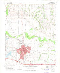
1972 Map of El Reno
USGS Topo · Published 1974About this map
The city of El Reno serves as the focal point of this Oklahoma landscape, situated at the intersection of the Chicago Rock Island and Pacific railroad and major highways U S 81 and U S 66 & 270. The urban core is detailed with local schools such as Lincoln Sch and Irving Sch, alongside civic landmarks like the Courthouse and El Reno College. The map reveals the complex social and legal geography of the era, clearly marking the Indian Treaty Boundary and the expansive grounds of the El Reno Federal Reformatory.
Find a feature on this map
42 named features on this map. Tap any name to fly to it.
Don’t see what you’re looking for? This feature index may not catch every label — zoom into the map to look around manually.
Map Details
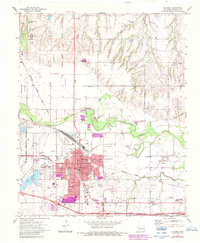
Editions of this 1972 El Reno Map
2 editions found
Other maps of this area

1892 · Kingfisher
USGS Topo · 1:125,000

1893 · Fort Reno
USGS Topo · 1:62,500

1893 · Buggy Creek
USGS Topo · 1:62,500

1893 · Minco
USGS Topo · 1:62,500

1895 · Kingfisher
USGS Topo · 1:125,000

1904 · Chickasha
USGS Topo · 1:125,000

1941 · Fort Reno
USGS Topo · 1:62,500

1942 · Fort Reno
USGS Topo · 1:62,500

1949 · Fort Reno
USGS Topo · 1:62,500

1954 · Oklahoma City
USGS Topo · 1:250,000