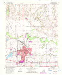
1972 Map of El Reno
USGS Topo · Published 1983About this map
El Reno serves as a major hub for the region's rail and educational infrastructure during the early 1970s. The city is deeply connected to the Chicago Rock Island and Pacific Railroad, which bisects the urban core alongside the Oklahoma Kansas and Texas line. This survey highlights a dense network of local schools including Cavanaugh Wilcher Sch, Hillcrest Sch, and the Canadian Valley Vocational Sch, alongside the El Reno College campus.
Find a feature on this map
45 named features on this map. Tap any name to fly to it.
Don’t see what you’re looking for? This feature index may not catch every label — zoom into the map to look around manually.
Map Details
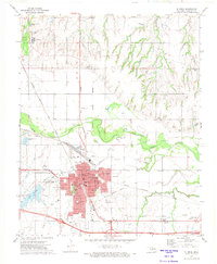
Editions of this 1972 El Reno Map
2 editions found
Other maps of this area

1892 · Kingfisher
USGS Topo · 1:125,000

1893 · Fort Reno
USGS Topo · 1:62,500

1893 · Buggy Creek
USGS Topo · 1:62,500

1893 · Minco
USGS Topo · 1:62,500

1895 · Kingfisher
USGS Topo · 1:125,000

1904 · Chickasha
USGS Topo · 1:125,000

1941 · Fort Reno
USGS Topo · 1:62,500

1942 · Fort Reno
USGS Topo · 1:62,500

1949 · Fort Reno
USGS Topo · 1:62,500

1954 · Oklahoma City
USGS Topo · 1:250,000