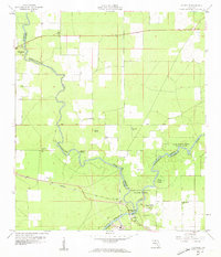
1959 Map of Ellaville
USGS Topo · Published 1960About this map
The confluence of the Withlacoochee River and the Suwannee River defines this North Florida landscape, where three counties—Madison, Hamilton, and Suwannee—meet. The settlement of Ellaville sits at this strategic junction, a site marked by the crossing of the Seaboard railroad and proximity to the Suwannee River State Park. The map reveals a rural economy tied to the land and water, with a network of country churches including Corinth Ch, St Pauls Ch, and Beulah Ch serving the outlying areas.
Find a feature on this map
24 named features on this map. Tap any name to fly to it.
Don’t see what you’re looking for? This feature index may not catch every label — zoom into the map to look around manually.
Map Details
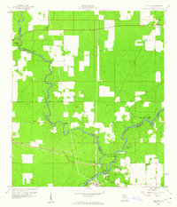
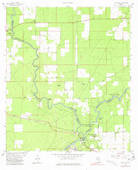
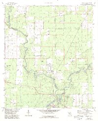
Editions of this 1959 Ellaville Map
5 editions found
Other maps of this area

1954 · Valdosta
USGS Topo · 1:250,000

1956 · Jennings
USGS Topo · 1:24,000

1956 · Octahatchee
USGS Topo · 1:24,000

1958 · Valdosta
USGS Topo · 1:250,000

1958 · Fort Union
USGS Topo · 1:24,000

1958 · Madison SE
USGS Topo · 1:24,000

1958 · Lee
USGS Topo · 1:24,000

1959 · Valdosta
USGS Topo · 1:250,000

1959 · Ellaville
USGS Topo · 1:24,000

1959 · Live Oak West
USGS Topo · 1:24,000