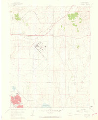
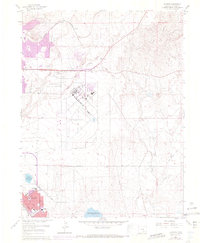
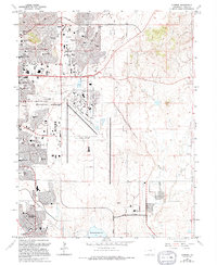
1961 Map of Elsmere
USGS Topo · Published 1963About this map
Peterson Field and its extensive runway network dominate the central landscape of El Paso County during this early 1960s revision. South of the airfield, the burgeoning suburban development of Security appears in high detail, showcasing a planned residential grid featuring Sproul Sch and Widefield High Sch. This era of growth is contrasted by the lingering agricultural and rail infrastructure of the high plains, including the Chicago Rock Island and Pacific railroad passing through Elsmere. Large-scale water management is evident in the Big Johnson Reservoir and Little Johnson Res, fed by Canal No 4. The map also captures local recreational culture with the Pikes Peak Speedway and a designated Drag Strip located just north of the primary air facility, reflecting the region's mid-century transition from open prairie to a major military and suburban hub.
Find a feature on this map
20 named features on this map. Tap any name to fly to it.
Don’t see what you’re looking for? This feature index may not catch every label — zoom into the map to look around manually.
Map Details
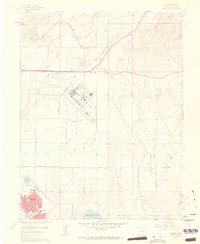
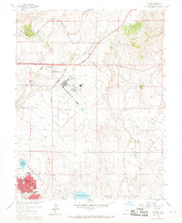
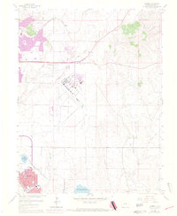
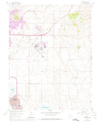
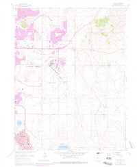
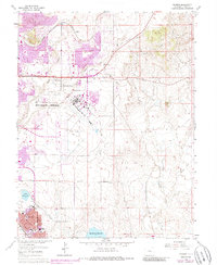
Editions of this 1961 Elsmere Map
9 editions found
Other maps of this area

1893 · Colorado Springs
USGS Topo · 1:125,000

1909 · Colorado Springs
USGS Topo · 1:125,000

1942 · Colorado Springs
USGS Topo · 1:125,000

1948 · Falcon
USGS Topo · 1:24,000

1948 · Colorado Springs
USGS Topo · 1:62,500

1948 · Pikeview
USGS Topo · 1:24,000

1948 · Fountain
USGS Topo · 1:24,000

1948 · Colorado Springs
USGS Topo · 1:24,000

1948 · Cheyenne Mountain
USGS Topo · 1:24,000

1948 · Falcon
USGS Topo · 1:62,500