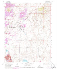
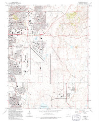
1961 Map of Elsmere
USGS Topo · Published 1986About this map
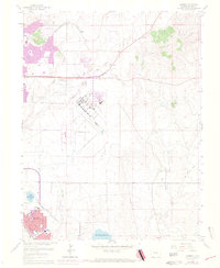
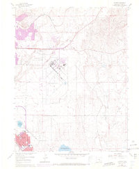
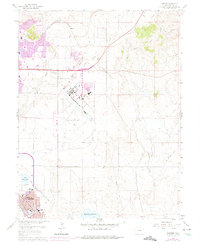
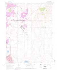
Peterson Field anchors the center of this landscape during a period of significant expansion for eastern Colorado Springs. Originally surveyed in the late 1940s and updated through the mid-1970s, the map documents the transition of high plains ranch land into a bustling aviation and suburban corridor. To the south, the community of Security shows dense residential development, supported by local institutions like Wilson Jr High Sch and Widefield High Sch. The industrial and transportation history of the area is represented by the Chicago Rock Island and Pacific Railroad and an Old Railroad Grade cutting across the northern reaches near Elsmere. Significant water resources, including Big Johnson Reservoir and Little Johnson Res, provide a stark contrast to the surrounding arid terrain, while the Pikes Peak Speedway points to the region's mid-century recreational culture.
Find a feature on this map
18 named features on this map. Tap any name to fly to it.
Don’t see what you’re looking for? This feature index may not catch every label — zoom into the map to look around manually.
Map Details
Editions of this 1961 Elsmere Map
9 editions found
Other maps of this area

1893 · Colorado Springs
USGS Topo · 1:125,000

1909 · Colorado Springs
USGS Topo · 1:125,000

1942 · Colorado Springs
USGS Topo · 1:125,000

1948 · Falcon
USGS Topo · 1:24,000

1948 · Colorado Springs
USGS Topo · 1:62,500

1948 · Pikeview
USGS Topo · 1:24,000

1948 · Fountain
USGS Topo · 1:24,000

1948 · Colorado Springs
USGS Topo · 1:24,000

1948 · Cheyenne Mountain
USGS Topo · 1:24,000

1948 · Falcon
USGS Topo · 1:62,500