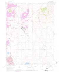
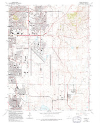
1961 Map of Elsmere
USGS Topo · Published 1978About this map
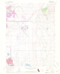
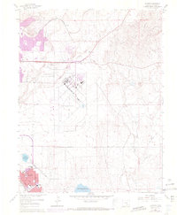
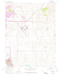
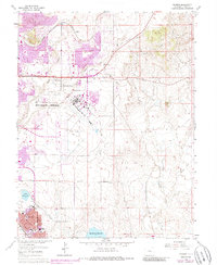
Peterson Field and the emerging suburbs of Colorado Springs define this mid-century landscape as the region transitioned into a major aviation and residential hub. The map highlights the sprawling airfield alongside expanding neighborhoods like Security, where local schools such as Widefield High Sch and Sproul Sch signify rapid post-war growth. The industrial and transit heritage of the area is visible through the Chicago Rock Island and Pacific rail line and an Old Railroad Grade that cuts through the drainage of Jimmy Camp Creek. Along the northern corridors, commercial recreation is represented by the Pikes Peak Speedway, while the southern portion of the sheet is dominated by the irrigation infrastructure of Big Johnson Reservoir and Little Johnson Res, illustrating the critical balance between water management and urban expansion in the high plains.
Find a feature on this map
19 named features on this map. Tap any name to fly to it.
Don’t see what you’re looking for? This feature index may not catch every label — zoom into the map to look around manually.
Map Details
Editions of this 1961 Elsmere Map
9 editions found
Other maps of this area

1893 · Colorado Springs
USGS Topo · 1:125,000

1909 · Colorado Springs
USGS Topo · 1:125,000

1942 · Colorado Springs
USGS Topo · 1:125,000

1948 · Falcon
USGS Topo · 1:24,000

1948 · Colorado Springs
USGS Topo · 1:62,500

1948 · Pikeview
USGS Topo · 1:24,000

1948 · Fountain
USGS Topo · 1:24,000

1948 · Colorado Springs
USGS Topo · 1:24,000

1948 · Cheyenne Mountain
USGS Topo · 1:24,000

1948 · Falcon
USGS Topo · 1:62,500