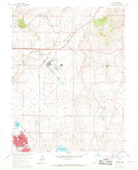
1961 Map of Elsmere
USGS Topo · Published 1969About this map
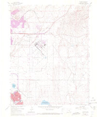
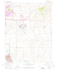
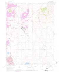
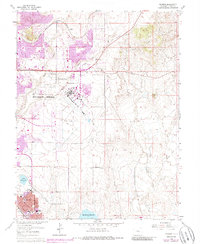
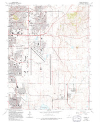
Peterson Field dominates the central landscape of this eastern Colorado map, which documents a pivotal era of infrastructure development and suburban expansion. To the southwest, the planned community of Security emerges with a dense residential grid, supported by local institutions like Widefield High Sch, Sproul Sch, and Wilson Jr High Sch. The presence of the Chicago Rock Island and Pacific railroad line and an Old Railroad Grade illustrate the shifting transportation modes as the region transitioned from rail dominance toward automotive and aviation uses.
Find a feature on this map
18 named features on this map. Tap any name to fly to it.
Don’t see what you’re looking for? This feature index may not catch every label — zoom into the map to look around manually.
Map Details
Editions of this 1961 Elsmere Map
9 editions found
Other maps of this area

1893 · Colorado Springs
USGS Topo · 1:125,000

1909 · Colorado Springs
USGS Topo · 1:125,000

1942 · Colorado Springs
USGS Topo · 1:125,000

1948 · Falcon
USGS Topo · 1:24,000

1948 · Colorado Springs
USGS Topo · 1:62,500

1948 · Pikeview
USGS Topo · 1:24,000

1948 · Fountain
USGS Topo · 1:24,000

1948 · Colorado Springs
USGS Topo · 1:24,000

1948 · Cheyenne Mountain
USGS Topo · 1:24,000

1948 · Falcon
USGS Topo · 1:62,500