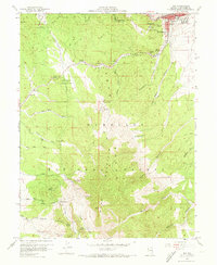
1958 Map of Ely
USGS Topo · Published 1973About this map
Ely stands at the foot of the Egan Range in the late 1950s, serving as a vital mining and transportation hub defined by the Nevada Northern railroad line. The landscape is heavily marked by extractive industry, with numerous workings like the Farnsworth-Ely Metal Mine, Kelly-Leach Mine, and specialized infrastructure such as the Bell Shaft and a Water Tunnel to the south. Near the town center, the Ely Colony Indian Reservation and the local Cem provide important genealogical touchpoints.
Find a feature on this map
61 named features on this map. Tap any name to fly to it.
Don’t see what you’re looking for? This feature index may not catch every label — zoom into the map to look around manually.
Map Details
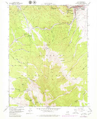
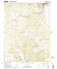
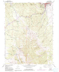
Editions of this 1958 Ely Map
5 editions found
Other maps of this area

1952 · Ely
USGS Topo · 1:125,000

1956 · Ely
USGS Topo · 1:250,000

1958 · Ruth
USGS Topo · 1:24,000

1958 · East Ely
USGS Topo · 1:24,000

1958 · Comins Lake
USGS Topo · 1:24,000

1958 · Ely
USGS Topo · 1:62,500

1958 · McGill
USGS Topo · 1:62,500

1958 · Reipetown
USGS Topo · 1:24,000

1958 · Giroux Wash
USGS Topo · 1:24,000

1958 · Ely
USGS Topo · 1:24,000