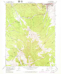
1958 Map of Ely
USGS Topo · Published 1979About this map
Mining and recreation define the landscape of Ely during the mid-to-late 20th century, where the industrial infrastructure of the Nevada Northern railroad meets the rugged slopes of the Humboldt National Forest. In the northeast, the city is flanked by historic extraction sites including the Farnsworth-Ely Metal Mine, Quincy Mine, and Black Spot Mine, while the Ely Colony Indian Reservation sits adjacent to the urban center. To the west and south, the terrain rises toward the Ward Mountain Recreation Area, featuring the Ward Mtn Ski Hill and numerous water sources such as Murry Springs and Riepe Spring. The presence of the Bell Shaft and Minoletti Shaft near the town core underscores the area's deep-rooted copper and silver mining heritage, while the Landmark Letters on the hillside overlooking the city provide a distinct local cultural marker.
Find a feature on this map
57 named features on this map. Tap any name to fly to it.
Don’t see what you’re looking for? This feature index may not catch every label — zoom into the map to look around manually.
Map Details
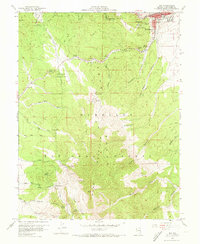
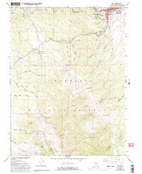
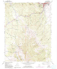
Editions of this 1958 Ely Map
5 editions found
Other maps of this area

1952 · Ely
USGS Topo · 1:125,000

1956 · Ely
USGS Topo · 1:250,000

1958 · Ruth
USGS Topo · 1:24,000

1958 · East Ely
USGS Topo · 1:24,000

1958 · Comins Lake
USGS Topo · 1:24,000

1958 · Ely
USGS Topo · 1:62,500

1958 · McGill
USGS Topo · 1:62,500

1958 · Reipetown
USGS Topo · 1:24,000

1958 · Giroux Wash
USGS Topo · 1:24,000

1958 · Ely
USGS Topo · 1:24,000