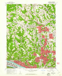
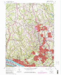
1960 Map of Emsworth
USGS Topo · Published 1961About this map
The Ohio River corridor and its surrounding northern suburbs define this 1960 landscape, showing a period of significant residential expansion into Ross and McCandless townships. Industrial and institutional footprints remain prominent along the river, most notably the expansive Dixmont State Hospital and the busy Pennsylvania RR lines serving Emsworth, Avalon, and Bellevue. Further north, the suburban character of Ingomar and Perrysville is visible through its dense network of schools, including North Allegheny High Sch and Vincentian High Sch, while specialized landmarks like the Mt Nebo Grange Hall and Tree of Life Memorial Park speak to the area's local community roots.
Find a feature on this map
89 named features on this map. Tap any name to fly to it.
Don’t see what you’re looking for? This feature index may not catch every label — zoom into the map to look around manually.
Map Details
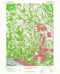
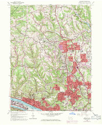
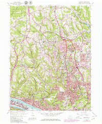
Editions of this 1960 Emsworth Map
5 editions found
Other maps of this area

1904 · Mc Keesport
USGS Topo · 1:62,500

1904 · Carnegie
USGS Topo · 1:62,500

1906 · Carnegie
USGS Topo · 1:62,500

1906 · Sewickley
USGS Topo · 1:62,500

1907 · Pittsburg
USGS Topo · 1:62,500

1908 · Sewickley
USGS Topo · 1:62,500

1908 · Carnegie
USGS Topo · 1:62,500

1908 · New Kensington
USGS Topo · 1:62,500

1910 · New Kensington
USGS Topo · 1:62,500

1948 · Pittsburgh West
USGS Topo · 1:24,000