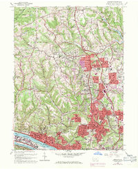
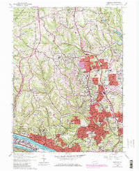
1960 Map of Emsworth
USGS Topo · Published 1971About this map
Dixmont State Hospital anchors the southwestern hills overlooking the Ohio River, a massive institutional complex that long dominated this reach of Allegheny County. This survey captures a suburbanizing landscape where older agricultural nodes like Wexford and Ingomar are increasingly connected by major arteries like the Perry Hwy and McKnight Rd. The topography is defined by the sharp descent from the northern uplands toward the Ohio River valley, where the Emsworth Dam and the Back Channel control the flow around Neville Island. In the north, the sprawling recreational grounds of North Park center on North Park Lake, providing a contrast to the dense residential growth seen in West View and Bellevue. This period shows the transition of private estates and farmland into established communities, marked by institutional landmarks such as Mt Nazareth Academy and the Vincentian High Sch.
Find a feature on this map
90 named features on this map. Tap any name to fly to it.
Don’t see what you’re looking for? This feature index may not catch every label — zoom into the map to look around manually.
Map Details
Editions of this 1960 Emsworth Map
5 editions found
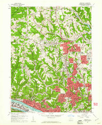
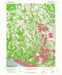
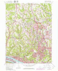
Other maps of this area

1904 · Mc Keesport
USGS Topo · 1:62,500

1904 · Carnegie
USGS Topo · 1:62,500

1906 · Carnegie
USGS Topo · 1:62,500

1906 · Sewickley
USGS Topo · 1:62,500

1907 · Pittsburg
USGS Topo · 1:62,500

1908 · Sewickley
USGS Topo · 1:62,500

1908 · Carnegie
USGS Topo · 1:62,500

1908 · New Kensington
USGS Topo · 1:62,500

1910 · New Kensington
USGS Topo · 1:62,500

1948 · Pittsburgh West
USGS Topo · 1:24,000