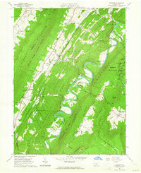
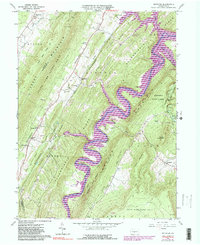
1963 Map of Entriken
USGS Topo · Published 1964About this map
The Raystown Branch Juniata River carves a tight, serpentine path through the center of this 1963 survey, defining the topographical character of central Pennsylvania before major hydroelectric developments permanently altered the valley floor. To the east, the steep rise of Terrace Mountain and Allegrippis Ridge contain the river within narrow, wooded corridors, while the Woodcock Valley to the west provides a more habitable landscape for rural settlement. Local community life at this time centers on crossroads such as Entriken and Marklesburg, with family history preserved in the Brumbaugh Cem and Shultz Cem. Industrial history remains visible through the Paradise Furnace and a Strip Mine in the south, while the Old Backbone Grade traces a former transportation corridor. Landmarks like Balanced Rock and the facilities at Trough Creek State Park suggest a landscape valued equally for its natural features and its iron-working past.
Find a feature on this map
58 named features on this map. Tap any name to fly to it.
Don’t see what you’re looking for? This feature index may not catch every label — zoom into the map to look around manually.
Map Details
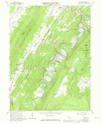
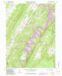
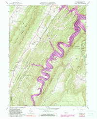
Editions of this 1963 Entriken Map
5 editions found
Other maps of this area

1900 · Everett
USGS Topo · 1:62,500

1901 · Huntingdon
USGS Topo · 1:62,500

1902 · Everett
USGS Topo · 1:62,500

1902 · Hollidaysburg
USGS Topo · 1:62,500

1903 · Hollidaysburg
USGS Topo · 1:62,500

1904 · Huntingdon
USGS Topo · 1:62,500

1930 · Broad Top
USGS Topo · 1:62,500

1933 · Broad Top
USGS Topo · 1:62,500

1953 · Pittsburgh
USGS Topo · 1:250,000

1954 · Pittsburgh
USGS Topo · 1:250,000