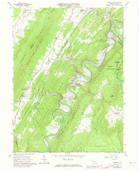
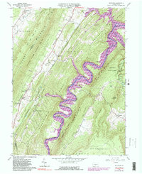
1963 Map of Entriken
USGS Topo · Published 1973About this map
The Raystown River snakes through the deep valleys of central Pennsylvania in this early 1960s survey, showing the landscape just before significant changes reached the shoreline. The map documents the valley's character as Raystown Lake began to influence the local geography, particularly near Allegrippis Ridge and Terrace Mountain. The area maintains a strong agricultural and communal identity, evidenced by landmarks like the Lincoln Grange Hall and several country churches including Salems Ch and Russellville Ch.
Find a feature on this map
57 named features on this map. Tap any name to fly to it.
Don’t see what you’re looking for? This feature index may not catch every label — zoom into the map to look around manually.
Map Details
Editions of this 1963 Entriken Map
5 editions found
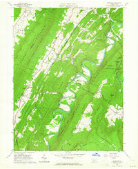
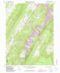
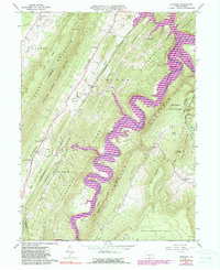
Other maps of this area

1900 · Everett
USGS Topo · 1:62,500

1901 · Huntingdon
USGS Topo · 1:62,500

1902 · Everett
USGS Topo · 1:62,500

1902 · Hollidaysburg
USGS Topo · 1:62,500

1903 · Hollidaysburg
USGS Topo · 1:62,500

1904 · Huntingdon
USGS Topo · 1:62,500

1930 · Broad Top
USGS Topo · 1:62,500

1933 · Broad Top
USGS Topo · 1:62,500

1953 · Pittsburgh
USGS Topo · 1:250,000

1954 · Pittsburgh
USGS Topo · 1:250,000