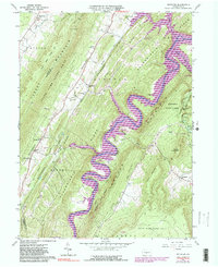
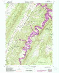
1963 Map of Entriken
USGS Topo · Published 1990About this map
Raystown Lake and the winding Raystown Branch Juniata River dominate this Central Pennsylvania landscape, carving deep valleys between the prominent ridges of Tussey Mountain and Terrace Mountain. The map illustrates a region transitioning between agricultural valley life and protected wilderness, with Rothrock State Forest and multiple game lands preserved on the high ground. Small rural settlements like Entriken, Russellville, and Marklesburg are clustered along the Woodcock Valley, where family names are preserved at Entriken Cem and Brumbaugh Cem.
Find a feature on this map
52 named features on this map. Tap any name to fly to it.
Don’t see what you’re looking for? This feature index may not catch every label — zoom into the map to look around manually.
Map Details
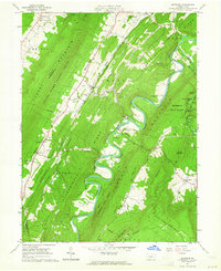
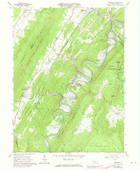
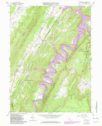
Editions of this 1963 Entriken Map
5 editions found
Other maps of this area

1900 · Everett
USGS Topo · 1:62,500

1901 · Huntingdon
USGS Topo · 1:62,500

1902 · Everett
USGS Topo · 1:62,500

1902 · Hollidaysburg
USGS Topo · 1:62,500

1903 · Hollidaysburg
USGS Topo · 1:62,500

1904 · Huntingdon
USGS Topo · 1:62,500

1930 · Broad Top
USGS Topo · 1:62,500

1933 · Broad Top
USGS Topo · 1:62,500

1953 · Pittsburgh
USGS Topo · 1:250,000

1954 · Pittsburgh
USGS Topo · 1:250,000