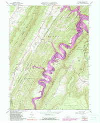
1963 Map of Entriken
USGS Topo · Published 1990About this map
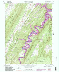
Raystown Lake and the winding Raystown Branch Juniata River dominate this landscape of parallel ridges and deep valleys. The map documents the area during a period of transition, showing the shoreline and recreational infrastructure of the lake alongside the older agricultural and industrial footprints of Woodcock Valley. In the north, Marklesburg and Beavertown anchor the settled corridor, while Entriken sits at a critical junction near Pine Ridge.
Find a feature on this map
59 named features on this map. Tap any name to fly to it.
Don’t see what you’re looking for? This feature index may not catch every label — zoom into the map to look around manually.
Map Details
Editions of this 1963 Entriken Map
5 editions found
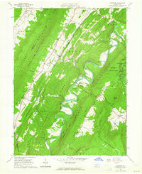
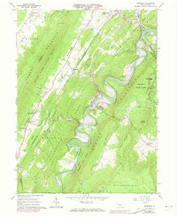
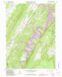
Other maps of this area

1900 · Everett
USGS Topo · 1:62,500

1901 · Huntingdon
USGS Topo · 1:62,500

1902 · Everett
USGS Topo · 1:62,500

1902 · Hollidaysburg
USGS Topo · 1:62,500

1903 · Hollidaysburg
USGS Topo · 1:62,500

1904 · Huntingdon
USGS Topo · 1:62,500

1930 · Broad Top
USGS Topo · 1:62,500

1933 · Broad Top
USGS Topo · 1:62,500

1953 · Pittsburgh
USGS Topo · 1:250,000

1954 · Pittsburgh
USGS Topo · 1:250,000