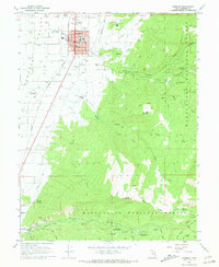
1966 Map of Ephraim
USGS Topo · Published 1968About this map
Ephraim and the adjacent West Ephraim occupy the heart of the Sanpete Valley in the mid-1960s, serving as a hub for education and agriculture. The presence of Snow College and its Snow College Field Station highlights the town's role as a regional center, while the grid of streets including Main Street and Center Street shows a well-established settlement. To the west, the Denver and Rio Grande Western railroad tracks and the Manti-Ephraim Airport provide critical transportation links for the valley's economy.
Find a feature on this map
72 named features on this map. Tap any name to fly to it.
Don’t see what you’re looking for? This feature index may not catch every label — zoom into the map to look around manually.
Map Details
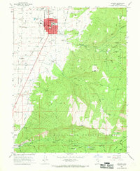
Editions of this 1966 Ephraim Map
2 editions found
Other maps of this area

1885 · Manti
USGS Topo · 1:250,000

1895 · Manti
USGS Topo · 1:250,000

1922 · Wasatch
USGS Topo · 1:31,680

1956 · Price
USGS Topo · 1:250,000

1960 · Price
USGS Topo · 1:250,000

1962 · Price
USGS Topo · 1:250,000

1965 · Manti
USGS Topo · 1:24,000

1965 · Wales
USGS Topo · 1:24,000

1965 · Black Mountain
USGS Topo · 1:24,000
1966 · Ferron Reservoir
USGS Topo · 1:24,000