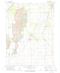
1973 Map of Essex
USGS Topo · Published 1975About this map
Strip Mine operations dominate the western landscape of this 1973 survey, particularly within the Reed township area where extensive excavations and tailings are documented. The industrial character of the region is further defined by the Gulf Illinois Central and Norfolk and Western railroads, which served the coal and sand industries. In the village of Essex, the central hub of this quadrangle, the grid-work of streets is flanked by the North Essex Cem and South Essex Cem. Along the eastern edge, the Kankakee River provides a natural contrast to the heavy industrial modifications of the interior. Smaller settlements like Torino, Godley, and Clarke City are also recorded, showing their relationship to the rail lines and extraction sites. This map captures the region at a point of transition between its coal mining peak and its later twentieth-century agricultural and suburban identity.
Find a feature on this map
29 named features on this map. Tap any name to fly to it.
Don’t see what you’re looking for? This feature index may not catch every label — zoom into the map to look around manually.
Map Details
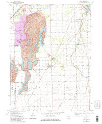
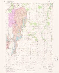
Editions of this 1973 Essex Map
3 editions found
Other maps of this area

1892 · Morris
USGS Topo · 1:62,500

1892 · Wilmington
USGS Topo · 1:62,500

1918 · Wilmington
USGS Topo · 1:62,500

1918 · Morris
USGS Topo · 1:62,500

1923 · Herscher
USGS Topo · 1:62,500

1925 · Herscher
USGS Topo · 1:62,500

1948 · Dwight
USGS Topo · 1:62,500

1950 · Dwight
USGS Topo · 1:62,500

1953 · Coal City
USGS Topo · 1:24,000

1953 · Symerton
USGS Topo · 1:24,000