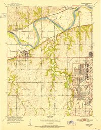
1951 Map of Eudora
USGS Topo · Published 1952About this map
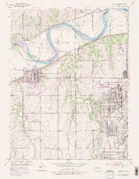
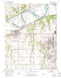
The Sunflower Ordnance Works dominates the eastern landscape of this mid-century survey, its massive grid of roads and industrial facilities standing in stark contrast to the surrounding Kansas farmland. This facility, established during the war era, created the substantial employee community of Sunflower near the Douglas and Johnson County line. The settlement of Eudora serves as the local hub, situated at the confluence where the Wakarusa River meets the Kansas River.
Find a feature on this map
34 named features on this map. Tap any name to fly to it.
Don’t see what you’re looking for? This feature index may not catch every label — zoom into the map to look around manually.
Map Details
Editions of this 1951 Eudora Map
6 editions found
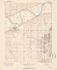
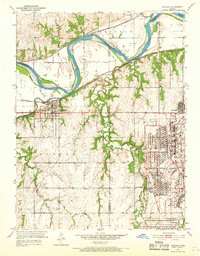
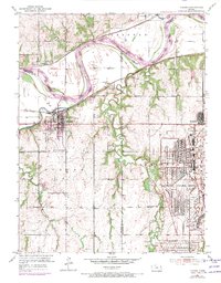
Other maps of this area

1885 · Lawrence
USGS Topo · 1:125,000

1886 · Oskaloosa
USGS Topo · 1:125,000

1887 · Olathe
USGS Topo · 1:125,000

1888 · Oskaloosa
USGS Topo · 1:125,000

1889 · Lawrence
USGS Topo · 1:125,000

1890 · Kansas City
USGS Topo · 1:125,000

1893 · Olathe
USGS Topo · 1:125,000

1894 · Kansas City
USGS Topo · 1:125,000

1894 · Oskaloosa
USGS Topo · 1:125,000

1934 · Bonner Springs
USGS Topo · 1:48,000