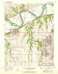
1951 Map of Eudora
USGS Topo · Published 1968About this map
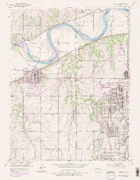
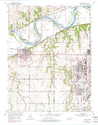
The Sunflower Ordnance Works dominates the eastern landscape, its vast industrial footprint and network of residential streets in Sunflower providing a stark contrast to the surrounding Kansas farmland. This mid-century survey illustrates the intersection of military industrialization and traditional prairie settlements at the junction of the Kansas River and the Wakarusa River. The terrain is defined by the sweeping bends of the Kansas River, which serves as a boundary for Reno, Sherman, and Eudora townships. Transportation networks are well-established here, with the Union Pacific following the northern riverbank through Linwood and Fall Leaf, while the Atchison Topeka and Santa Fe line serves the town of Eudora. Smaller rural centers like Hesper and Weaver represent the agricultural backbone of the region, while the Eudora Cem and various local landmarks like the Filtration Plant and Quarry offer specific points of interest for local historians.
Find a feature on this map
30 named features on this map. Tap any name to fly to it.
Don’t see what you’re looking for? This feature index may not catch every label — zoom into the map to look around manually.
Map Details
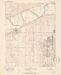
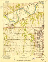
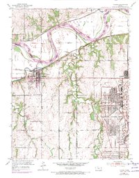
Editions of this 1951 Eudora Map
6 editions found
Other maps of this area

1885 · Lawrence
USGS Topo · 1:125,000

1886 · Oskaloosa
USGS Topo · 1:125,000

1887 · Olathe
USGS Topo · 1:125,000

1888 · Oskaloosa
USGS Topo · 1:125,000

1889 · Lawrence
USGS Topo · 1:125,000

1890 · Kansas City
USGS Topo · 1:125,000

1893 · Olathe
USGS Topo · 1:125,000

1894 · Kansas City
USGS Topo · 1:125,000

1894 · Oskaloosa
USGS Topo · 1:125,000

1934 · Bonner Springs
USGS Topo · 1:48,000