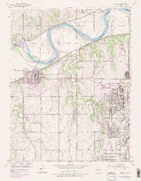
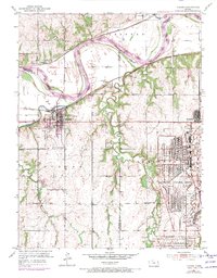
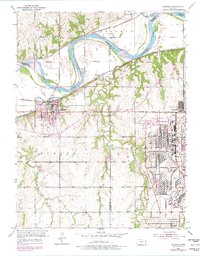
1951 Map of Eudora
USGS Topo · Published 1978About this map
The Kansas River dominates this mid-century landscape at the confluence with the Wakarusa River, a region defined by its vital rail connections and the massive footprint of the Sunflower Ordnance Works. Based on 1951 fieldwork with 1970s revisions, the map illustrates the industrial scale of the ordnance facility in Lexington and the growth of Clearview City to support it. To the west, the town of Eudora is a focal point of settlement, established on the south bank where the rivers meet, while smaller rail-aligned communities like Linwood, Fall Leaf, and Weaver trace the paths of the Union Pacific and Atchison Topeka and Santa Fe railroads. Genealogists can locate family sites at the Eudora Cem or the Prairie Center Cem near Captain Creek. The terrain transitions from the river bottomlands protected by a system of levees to the rolling uplands of the Eudora and Reno townships.
Find a feature on this map
28 named features on this map. Tap any name to fly to it.
Don’t see what you’re looking for? This feature index may not catch every label — zoom into the map to look around manually.
Map Details
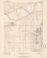
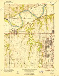
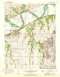
Editions of this 1951 Eudora Map
6 editions found
Other maps of this area

1885 · Lawrence
USGS Topo · 1:125,000

1886 · Oskaloosa
USGS Topo · 1:125,000

1887 · Olathe
USGS Topo · 1:125,000

1888 · Oskaloosa
USGS Topo · 1:125,000

1889 · Lawrence
USGS Topo · 1:125,000

1890 · Kansas City
USGS Topo · 1:125,000

1893 · Olathe
USGS Topo · 1:125,000

1894 · Kansas City
USGS Topo · 1:125,000

1894 · Oskaloosa
USGS Topo · 1:125,000

1934 · Bonner Springs
USGS Topo · 1:48,000