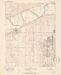
1951 Map of Eudora
USGS Topo · Published 1952About this map
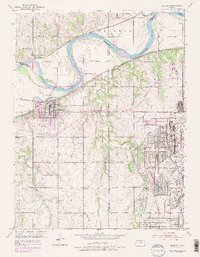
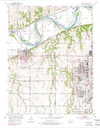
The Sunflower Ordnance Works dominates the eastern landscape of this early 1950s survey, showing the extensive infrastructure of this industrial complex near the Sunflower settlement. This area at the border of Douglas and Johnson counties is defined by the convergence of the Kansas River and the Wakarusa River, which join near the town of Eudora. The river valley serves as a primary corridor for heavy rail, with the Union Pacific following the north bank and the Atchison Topeka and Santa Fe running along the south. Smaller agricultural hubs like Linwood, Weaver, and Fall Leaf are situated along these tracks, while landmarks like Eudora Cemetery and Prairie Center Cemetery provide points of interest for genealogists. The topography reveals a complex network of levees and winding tributaries, including Stranger Creek and Captain Creek, which drain the surrounding plateaus.
Find a feature on this map
33 named features on this map. Tap any name to fly to it.
Don’t see what you’re looking for? This feature index may not catch every label — zoom into the map to look around manually.
Map Details
Editions of this 1951 Eudora Map
6 editions found
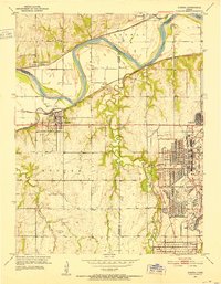
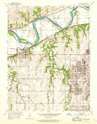
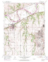
Other maps of this area

1885 · Lawrence
USGS Topo · 1:125,000

1886 · Oskaloosa
USGS Topo · 1:125,000

1887 · Olathe
USGS Topo · 1:125,000

1888 · Oskaloosa
USGS Topo · 1:125,000

1889 · Lawrence
USGS Topo · 1:125,000

1890 · Kansas City
USGS Topo · 1:125,000

1893 · Olathe
USGS Topo · 1:125,000

1894 · Kansas City
USGS Topo · 1:125,000

1894 · Oskaloosa
USGS Topo · 1:125,000

1934 · Bonner Springs
USGS Topo · 1:48,000