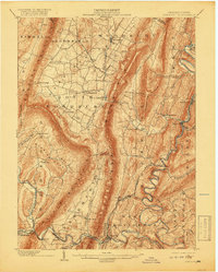
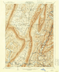
1902 Map of Everett
USGS Topo · Published 1918About this map
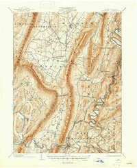
Tussey Mountain dominates the center of this Pennsylvania landscape, creating a formidable barrier that shaped the early transport and settlement patterns of Bedford County. To the east, the Raystown Branch Juniata River carves a winding path through the valley, flanked by the H. & B. T. M. R. R. which connects riverside communities like Hopewell and Riddlesburg. The topography reveals a series of parallel ridges including Warrior Ridge and Dunning Mountain, confining development to fertile gaps and narrow valleys.
Find a feature on this map
59 named features on this map. Tap any name to fly to it.
Don’t see what you’re looking for? This feature index may not catch every label — zoom into the map to look around manually.
Map Details
Editions of this 1902 Everett Map
7 editions found
Other maps of this area

1900 · Everett
USGS Topo · 1:62,500

1901 · Huntingdon
USGS Topo · 1:62,500

1902 · Everett
USGS Topo · 1:62,500

1902 · Ebensburg
USGS Topo · 1:62,500

1902 · Hollidaysburg
USGS Topo · 1:62,500

1903 · Hollidaysburg
USGS Topo · 1:62,500

1904 · Huntingdon
USGS Topo · 1:62,500

1904 · Ebensburg
USGS Topo · 1:62,500

1908 · Bedford
USGS Topo · 1:62,500

1910 · Bedford
USGS Topo · 1:62,500