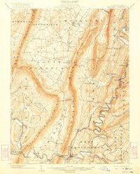
1902 Map of Everett
USGS Topo · Published 1922About this map
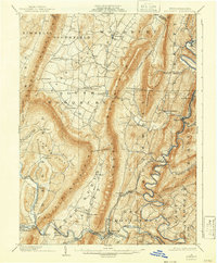
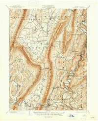
Tussey Mountain dominates this portion of Bedford County, forming a massive natural barrier that dictated the development of the region's early transportation and industry. The Huntingdon and Broad Top Mountain Railroad snakes along the banks of the Raystown Branch Juniata River, connecting mining and industrial outposts like Riddlesburg, Hopewell, and Saxton. These settlements were vital nodes for extracting resources from the surrounding ridges, while the broader valleys to the west supported agricultural communities such as New Enterprise and Lafayetteville.
Find a feature on this map
65 named features on this map. Tap any name to fly to it.
Don’t see what you’re looking for? This feature index may not catch every label — zoom into the map to look around manually.
Map Details
Editions of this 1902 Everett Map
7 editions found
Other maps of this area

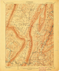
1900 · Everett
USGS Topo · 1:62,500

1901 · Huntingdon
USGS Topo · 1:62,500

1902 · Everett
USGS Topo · 1:62,500

1902 · Ebensburg
USGS Topo · 1:62,500

1902 · Hollidaysburg
USGS Topo · 1:62,500

1903 · Hollidaysburg
USGS Topo · 1:62,500

1904 · Huntingdon
USGS Topo · 1:62,500

1904 · Ebensburg
USGS Topo · 1:62,500

1908 · Bedford
USGS Topo · 1:62,500

1910 · Bedford
USGS Topo · 1:62,500