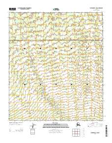
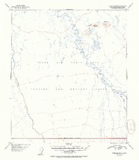
2013 Map of Fairbanks B-3 SW
USGS Topo · Published 2013About this map
Tatlanika Cr winds through this interior Alaskan landscape, serving as the primary geographical marker within the Denali and Yukon-Koyukuk boundary zone. The terrain is characterized by a high-resolution 10-foot contour interval, revealing the intricate drainage patterns and subtle elevations of the northern foothills. This 2013 survey provides an exacting record of the wilderness boundary between the Denali borough and the Yukon-Koyukuk census area, where the vast river systems of the north begin their descent through the territorial landscape.
Find a feature on this map
2 named features on this map. Tap any name to fly to it.
Don’t see what you’re looking for? This feature index may not catch every label — zoom into the map to look around manually.
Map Details
Editions of this 2013 Fairbanks B-3 SW Map
This is the sole edition of this map. No revisions or reprints were ever made.
Other maps of this area

1949 · Fairbanks B-4
USGS Topo · 1:63,360

1949 · Fairbanks B-3
USGS Topo · 1:63,360

1950 · Fairbanks
USGS Topo · 1:250,000

1950 · Fairbanks A-4
USGS Topo · 1:63,360

1950 · Fairbanks A-3
USGS Topo · 1:63,360

1951 · Fairbanks
USGS Topo · 1:250,000
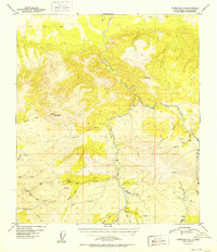
1952 · Fairbanks A-4
USGS Topo · 1:63,360
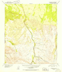
1952 · Fairbanks A-3
USGS Topo · 1:63,360
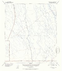
1952 · Fairbanks B-4
USGS Topo · 1:63,360
1952 · Fairbanks B-3
USGS Topo · 1:63,360