
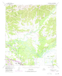
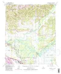
1949 Map of Fairbanks D-1
USGS Topo · Published 1949About this map
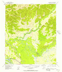
The Chena River meanders sharply across the central portion of this 1940s landscape, illustrating the complex hydrology of the interior before modern flood controls. South of the river, the Fairbanks Base Line serves as the structural anchor for a grid of early homesteads and transportation corridors, including Badger Road and the path of the Richardson Highway. This era shows the convergence of traditional and modern transit, where a Sled Road cuts through the northern hills near Last Chance Creek while the Alaska Railroad skirts the southern edge along the Tanana River. A dedicated U S Military Reservation occupies the southwestern corner, reflecting the strategic buildup in the territory during and after the war. In the north, the terrain transitions into a dense network of gold-bearing stream valleys like Gilmore Creek and Yellow Pup Cr, marking the enduring influence of the mining districts.
Find a feature on this map
40 named features on this map. Tap any name to fly to it.
Don’t see what you’re looking for? This feature index may not catch every label — zoom into the map to look around manually.
Map Details
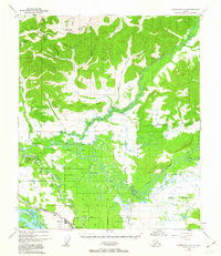
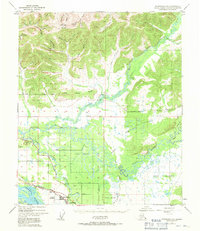
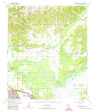
Editions of this 1949 Fairbanks D-1 Map
7 editions found
Other maps of this area

1945 · Livengood
USGS Topo · 1:250,000

1949 · Fairbanks D-2
USGS Topo · 1:62,500

1949 · Fairbanks C-1
USGS Topo · 1:63,360

1949 · Big Delta C-6
USGS Topo · 1:63,360

1949 · Fairbanks C-2
USGS Topo · 1:63,360

1950 · Fairbanks
USGS Topo · 1:250,000

1950 · Big Delta
USGS Topo · 1:250,000

1950 · Big Delta D-6
USGS Topo · 1:63,360

1950 · Fairbanks C-1
USGS Topo · 1:63,360

1951 · Big Delta
USGS Topo · 1:250,000