
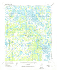
1950 Map of Fairbanks D-5
USGS Topo · Published 1964About this map
The Tanana River dominates this interior Alaska landscape, creating a complex network of wetlands and seasonal waterways in the mid-20th century. The settlement of Minto sits along the riverbank, supported by a nearby Landing Strip and a primitive Sled Road that provided essential transport during the winter months. The map documents a wilderness transition, where unsurveyed land lines were predetermined by the Bureau of Land Management but not yet marked on the ground.
Find a feature on this map
17 named features on this map. Tap any name to fly to it.
Don’t see what you’re looking for? This feature index may not catch every label — zoom into the map to look around manually.
Map Details
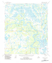
Editions of this 1950 Fairbanks D-5 Map
3 editions found
Other maps of this area

1945 · Livengood
USGS Topo · 1:250,000

1949 · Fairbanks D-4
USGS Topo · 1:63,360

1950 · Fairbanks
USGS Topo · 1:250,000

1950 · Fairbanks C-5
USGS Topo · 1:63,360

1950 · Fairbanks C-4
USGS Topo · 1:63,360

1951 · Fairbanks
USGS Topo · 1:250,000

1951 · Livengood
USGS Topo · 1:250,000

1951 · Livengood A-5
USGS Topo · 1:63,360

1951 · Livengood A-4
USGS Topo · 1:63,360

1952 · Fairbanks C-4
USGS Topo · 1:63,360