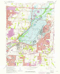
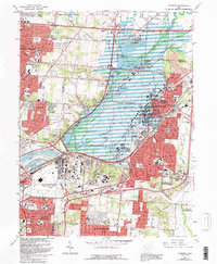
1965 Map of Fairborn
USGS Topo · Published 1976About this map
Wright-Patterson Air Force Base dominates this landscape northeast of Dayton, where the industrial and military expansion of the mid-1970s meets the legacy of early flight. The base itself, complete with the Air Force Museum, occupies much of the Mad River Valley, secured by the Huffman Dam and the Miami Conservancy District Huffman Reserve. Rapid suburban growth is evident in the sprawling residential developments of Huber Heights and Fairborn, as well as the emergence of Wright State University.
Find a feature on this map
63 named features on this map. Tap any name to fly to it.
Don’t see what you’re looking for? This feature index may not catch every label — zoom into the map to look around manually.
Map Details
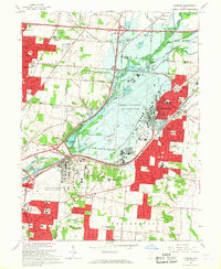
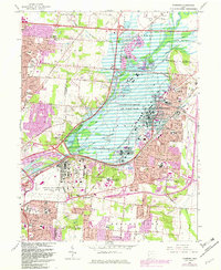
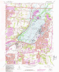
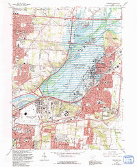
Editions of this 1965 Fairborn Map
6 editions found
Other maps of this area

1904 · Springfield
USGS Topo · 1:62,500

1904 · Dayton
USGS Topo · 1:62,500

1906 · Dayton
USGS Topo · 1:62,500

1906 · Springfield
USGS Topo · 1:62,500

1913 · Waynesville
USGS Topo · 1:62,500

1915 · Waynesville
USGS Topo · 1:62,500

1917 · Xenia
USGS Topo · 1:62,500

1947 · Columbus
USGS Topo · 1:250,000

1953 · Cincinnati
USGS Topo · 1:250,000
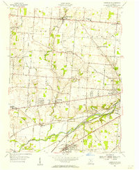
1955 · Donnelsville
USGS Topo · 1:24,000