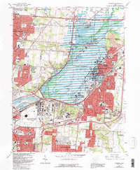
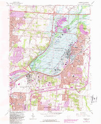
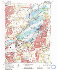
1965 Map of Fairborn
USGS Topo · Published 1992About this map
The Wright-Patterson Air Force Base dominates the landscape northeast of Dayton, serving as a massive anchor for the mid-century development of Fairborn and Huber Heights. This 1965 survey records a pivotal era of Cold War expansion, highlighting the Air Force Museum and the sprawling U S Mil Res Bdy. The geography is defined by the Mad River corridor and its confluence with Hebble Creek at the Huffman Dam, a critical piece of regional flood control. Beyond the military installation, the map captures the transition from rural agricultural land to suburban neighborhoods like Beverly Gardens and Page Manor. Educational and recreational growth is evident through the founding of Wright State University and the preservation of the Carriage Hill Reserve. Smaller local landmarks such as Sulphur Grove Sch and New Germany provide essential reference points for genealogists tracing family roots in Bath and Beavercreek townships.
Find a feature on this map
66 named features on this map. Tap any name to fly to it.
Don’t see what you’re looking for? This feature index may not catch every label — zoom into the map to look around manually.
Map Details
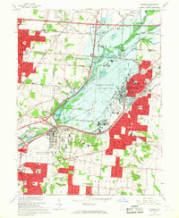
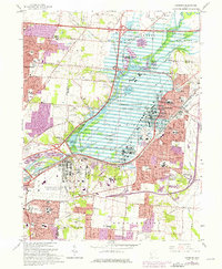
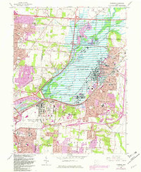
Editions of this 1965 Fairborn Map
6 editions found
Other maps of this area

1904 · Springfield
USGS Topo · 1:62,500

1904 · Dayton
USGS Topo · 1:62,500

1906 · Dayton
USGS Topo · 1:62,500

1906 · Springfield
USGS Topo · 1:62,500

1913 · Waynesville
USGS Topo · 1:62,500

1915 · Waynesville
USGS Topo · 1:62,500

1917 · Xenia
USGS Topo · 1:62,500

1947 · Columbus
USGS Topo · 1:250,000

1953 · Cincinnati
USGS Topo · 1:250,000
1955 · Donnelsville
USGS Topo · 1:24,000