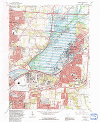
1965 Map of Fairborn
USGS Topo · Published 1992About this map
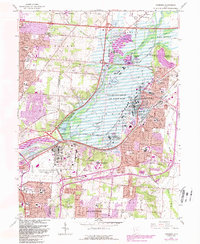
Wright-Patterson Air Force Base dominates the central landscape of this 1965 survey, showcasing the expansive military infrastructure that defined the region's mid-century growth. The map captures the suburban expansion of Fairborn and Huber Heights as they developed around the strategic corridors of the Mad River. Local historical detail is preserved in the location of the Township Cem near Sulphur Grove and the vanished agricultural footprint around New Germany. The flood control engineering of the Huffman Dam is prominent, along with the numerous gravel pits that fueled the construction of the surrounding residential tracts like Page Manor and Beverly Gardens. This edition, revised in 1992, maintains the original 1960s structural layout while detailing the evolution of regional transit via the Conrail lines and emerging interstate interchanges.
Find a feature on this map
55 named features on this map. Tap any name to fly to it.
Don’t see what you’re looking for? This feature index may not catch every label — zoom into the map to look around manually.
Map Details
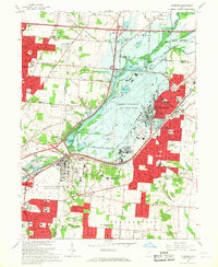
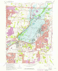
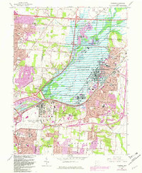
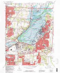
Editions of this 1965 Fairborn Map
6 editions found
Other maps of this area

1904 · Springfield
USGS Topo · 1:62,500

1904 · Dayton
USGS Topo · 1:62,500

1906 · Dayton
USGS Topo · 1:62,500

1906 · Springfield
USGS Topo · 1:62,500

1913 · Waynesville
USGS Topo · 1:62,500

1915 · Waynesville
USGS Topo · 1:62,500

1917 · Xenia
USGS Topo · 1:62,500

1947 · Columbus
USGS Topo · 1:250,000

1953 · Cincinnati
USGS Topo · 1:250,000
1955 · Donnelsville
USGS Topo · 1:24,000