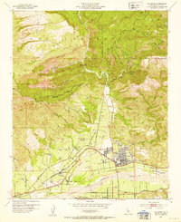
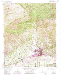
1951 Map of Fillmore
USGS Topo · Published 1953About this map
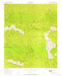
Fillmore and the surrounding agricultural valley of the Santa Clara River are depicted here in a period of significant utility and land management. The 1951 field check reveals a landscape defined by water control and resource extraction, with numerous oil wells and oil tanks dotting the hills near Tar Creek and Fourfork Creek. Along the riverbanks, an extensive levee system protects the valley floor, where the Southern Pacific railroad corridor connects the settlements of Sespe Village and Bardsdale.
Find a feature on this map
52 named features on this map. Tap any name to fly to it.
Don’t see what you’re looking for? This feature index may not catch every label — zoom into the map to look around manually.
Map Details
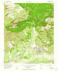
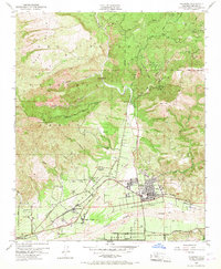
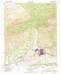
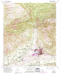
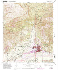
Editions of this 1951 Fillmore Map
7 editions found
Other maps of this area

1900 · Piru
USGS Topo · 1:62,500

1903 · Santa Paula
USGS Topo · 1:62,500

1903 · Mt. Pinos
USGS Topo · 1:125,000

1903 · Tejon
USGS Topo · 1:125,000

1903 · Camulos
USGS Topo · 1:125,000

1921 · Piru
USGS Topo · 1:62,500

1941 · Piru
USGS Topo · 1:62,500

1942 · Santa Paula
USGS Topo · 1:62,500
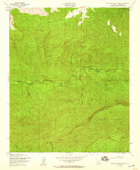
1943 · Topatopa Mountains
USGS Topo · 1:24,000
1943 · Devils Heart Peak
USGS Topo · 1:24,000