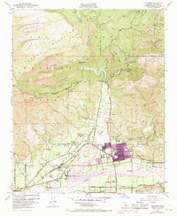
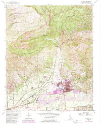
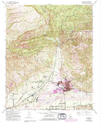
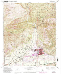
1951 Map of Fillmore
USGS Topo · Published 1970About this map
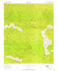
Sespe Creek winds through the Santa Clara River Valley, providing a focal point for the agricultural and industrial activity surrounding Fillmore. This survey, updated with 1969 photogrammetric data, illustrates the expansion of North Fillmore and the development of Oak Village and Sespe Village along the Southern Pacific Railroad. The economy of the era is clearly visible through numerous Oil Wells, Oil Tanks, and a dedicated Sewage Disposal site, reflecting the region's petroleum and utility infrastructure.
Find a feature on this map
56 named features on this map. Tap any name to fly to it.
Don’t see what you’re looking for? This feature index may not catch every label — zoom into the map to look around manually.
Map Details
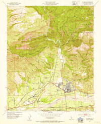
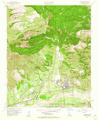
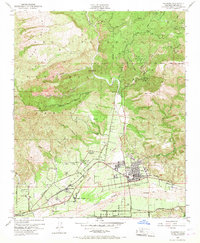
Editions of this 1951 Fillmore Map
7 editions found
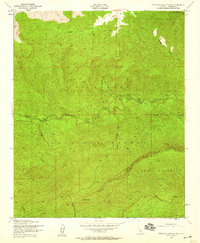
Other maps of this area

1900 · Piru
USGS Topo · 1:62,500

1903 · Santa Paula
USGS Topo · 1:62,500

1903 · Mt. Pinos
USGS Topo · 1:125,000

1903 · Tejon
USGS Topo · 1:125,000

1903 · Camulos
USGS Topo · 1:125,000

1921 · Piru
USGS Topo · 1:62,500

1941 · Piru
USGS Topo · 1:62,500

1942 · Santa Paula
USGS Topo · 1:62,500
1943 · Topatopa Mountains
USGS Topo · 1:24,000
1943 · Devils Heart Peak
USGS Topo · 1:24,000